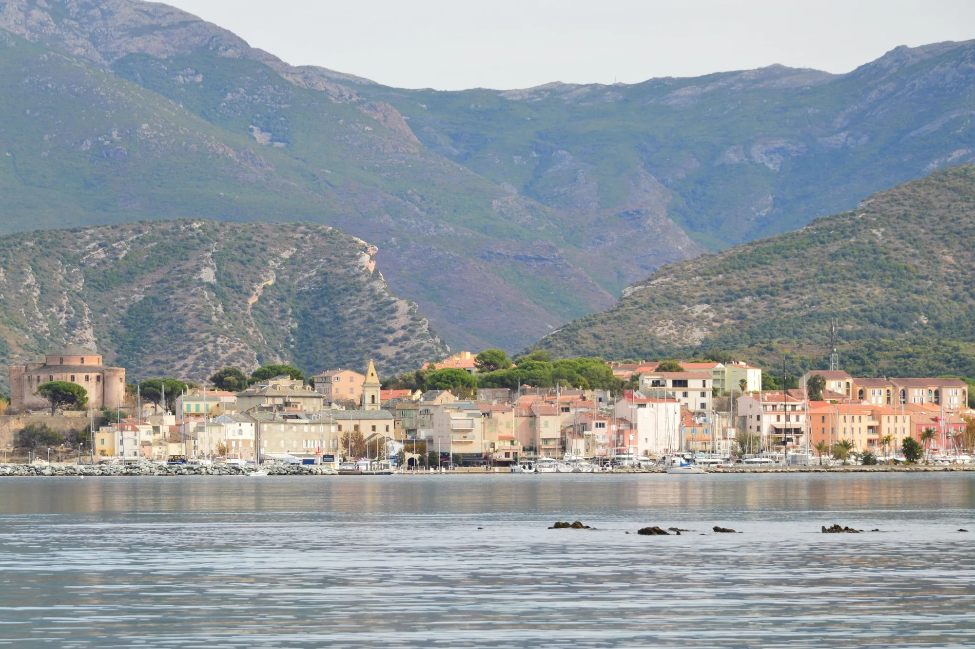
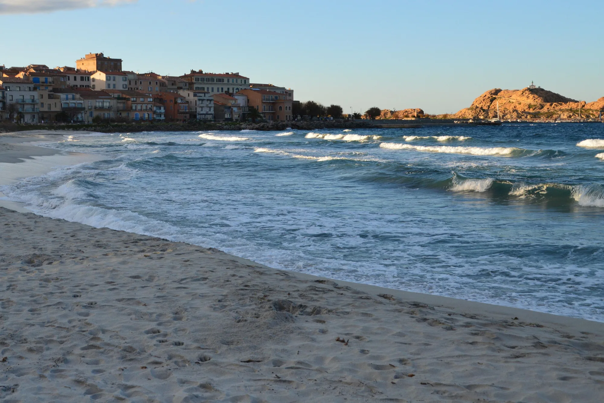
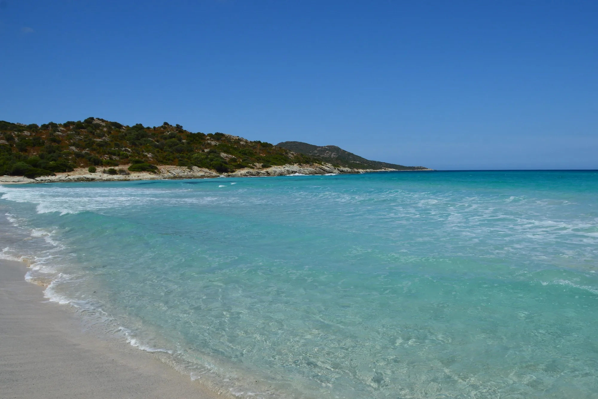
Saint-Florent - Lotu
- Time
- 4 hr 45 min
- Level
- Moderate
Start from the Roya beach, where you can park. The path passes the Mortella tower before reaching the Lotu. Many walkers go out on foot and come back by boat.
Source: Saint-Florent tourist office

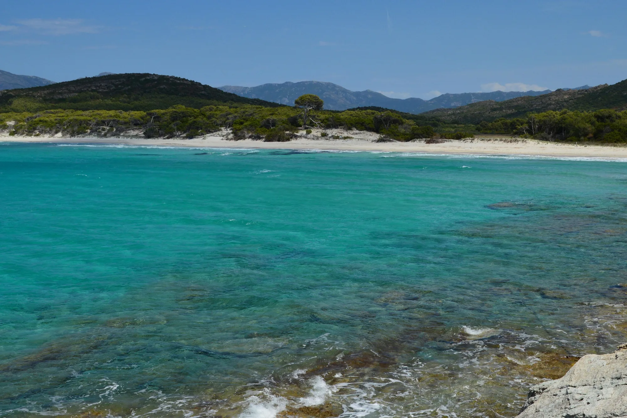
15,000 hectares of maquis without a tarmac road between Saint-Florent and the Ostriconi, reached by track, by sea or on foot.
Between Saint-Florent and the mouth of the Ostriconi, the Agriate (désert des Agriates) covers 15,000 ha of maquis-covered hills, rock and coves, with no recent dwellings and no tarmac road down to the sea. It is called a ‘desert’, but the word is misleading: this land was farmed and grazed for centuries.
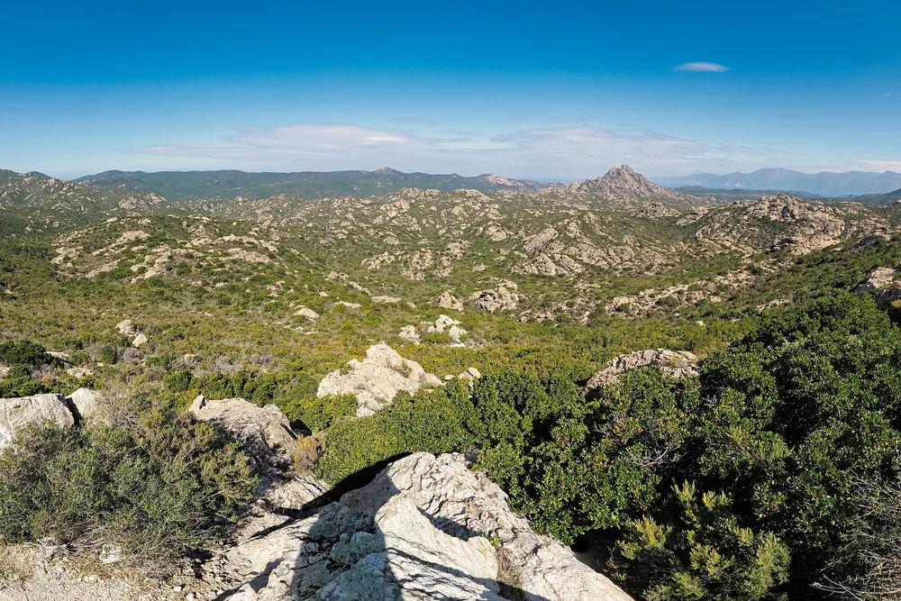 Photo : Jedesto, CC BY-SA 4.0, via Wikimedia Commons
From the Neolithic to the present day, herders and farmers from neighbouring villages (Giunsani, Ascu, Nebbiu, Cap Corse) used the Agriate seasonally. They left behind low stone walls, threshing floors and pagliaghji, the dry-stone shelters (paillers) where shepherds took cover. Those at Ghignu have been restored. Vineyards, meadows and olive groves are still worked on the edges of the site. Today more than a third of the Agriate belongs to the Conservatoire du littoral, and it spreads across four municipalities.
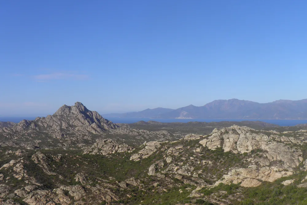 Photo : Gzen92, CC BY-SA 4.0, via Wikimedia Commons
The coastline has 37 km of coves and white sand beaches, from east to west:
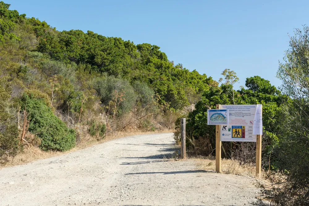 Photo : Isiwal, CC BY-SA 3.0, via Wikimedia Commons
Because this is the wildest coast in the north of the island, and reaching it takes some effort. The best compromise is to walk out to the Lotu on the coastal path and come back by boat: a full day, without driving the track. In July and August, Saleccia and the Lotu draw crowds arriving by sea; in May, June and September you will have them almost to yourself, and the heat on the path is bearable.
Updated 30 October 2026
No tarmac road runs down to the sea. There are three ways to reach the beaches: the track, the boat or the coastal path.
It leaves the D81 about 1.3 km west of Casta, at the place called U Salone, about 15 minutes from Saint-Florent (OSRM calculation). Allow about 45 minutes on the track to reach the coast. The track is for 4x4s and trail motorbikes only. In season, access to the beach is charged and regulated: ask the Santo-Pietro-di-Tenda town council.
A second track runs from the Vezzu pass towards Ghignu and Malfalcu, to the west, also by off-road vehicle.
Shuttles and water taxis leave Saint-Florent harbour for the Lotu from April to October, weather permitting: the crossing takes 15 to 20 minutes. No 2026 timetable had been published by the operators when we checked: ask at the harbour or the tourist office.
The coastal path, or customs officers’ path (sentier des douaniers), follows the whole coast from the Roya beach to the Ostriconi. See the walking times below.
Times are one way. The route guide gives no ascent figures: the path keeps climbing and dropping from one cove to the next.
Start from the Roya beach, where you can park. The path passes the Mortella tower before reaching the Lotu. Many walkers go out on foot and come back by boat.
Source: Saint-Florent tourist office
A short link between the two best-known beaches, to walk after arriving at the Lotu by boat.
Source: Saint-Florent tourist office
The wildest stretch: no supplies, deserted coves.
Source: Saint-Florent tourist office
The end of the path, at the mouth of the Ostriconi. In all, 35 km and about 14 hr 45 min of walking from the Roya: plan at least one night on the way.
Source: Saint-Florent tourist office
The *Conservatoire du littoral* (the French coastal protection agency) owns 5,563 ha of the Agriate, acquired since 1979: it is its largest site in France. The *Collectivité de Corse* (Corsica’s regional authority) manages it, with coastal wardens.
Banned on the beaches and on Conservatoire land, by municipal orders of Palasca, Santo-Pietro-di-Tenda and San-Gavino-di-Tenda.
Motor vehicles are banned off roads open to traffic (Environment Code, articles L362-1 onwards). A traffic plan set by the municipalities applies in the western Agriate.
Fires and dumping rubbish are banned. Take away everything you bring.
The restored Ghignu paillers (stone shepherds’ shelters) are free to use, on a first-come, first-served basis, without booking: no drinking water, no mattresses, no electricity.
The coast is part of the Parc naturel marin du Cap Corse et de l’Agriate, a marine nature park created in 2016: do not drop anchor in the Posidonia seagrass meadows. Information from the Office français de la biodiversité.
Rules and news on the Collectivité de Corse website for the Agriate.
On days of ‘very severe’ fire risk, the Haute-Corse prefecture closes the western or eastern Agriate, tracks and paths included, pedestrians too. Check the risk map the day before on risque-prevention-incendie.fr.
The only drinking water is at Saleccia. Allow several litres per person per day in summer, plus a hat and good shoes.
After a storm, streams swell quickly at their mouths. In strong wind, the sea becomes dangerous on exposed beaches and the boats do not sail: have a fallback plan if you are counting on returning by sea.
Well-rated day trips with a driver to the Lotu and Saleccia, from Saint-Florent or Calvi.
Prices and ratings checked on GetYourGuide in October 2026. We may earn a commission when you book through our partner links, at no extra cost to you.