Corsica travel guide
Natural site

The Scala di Santa Regina

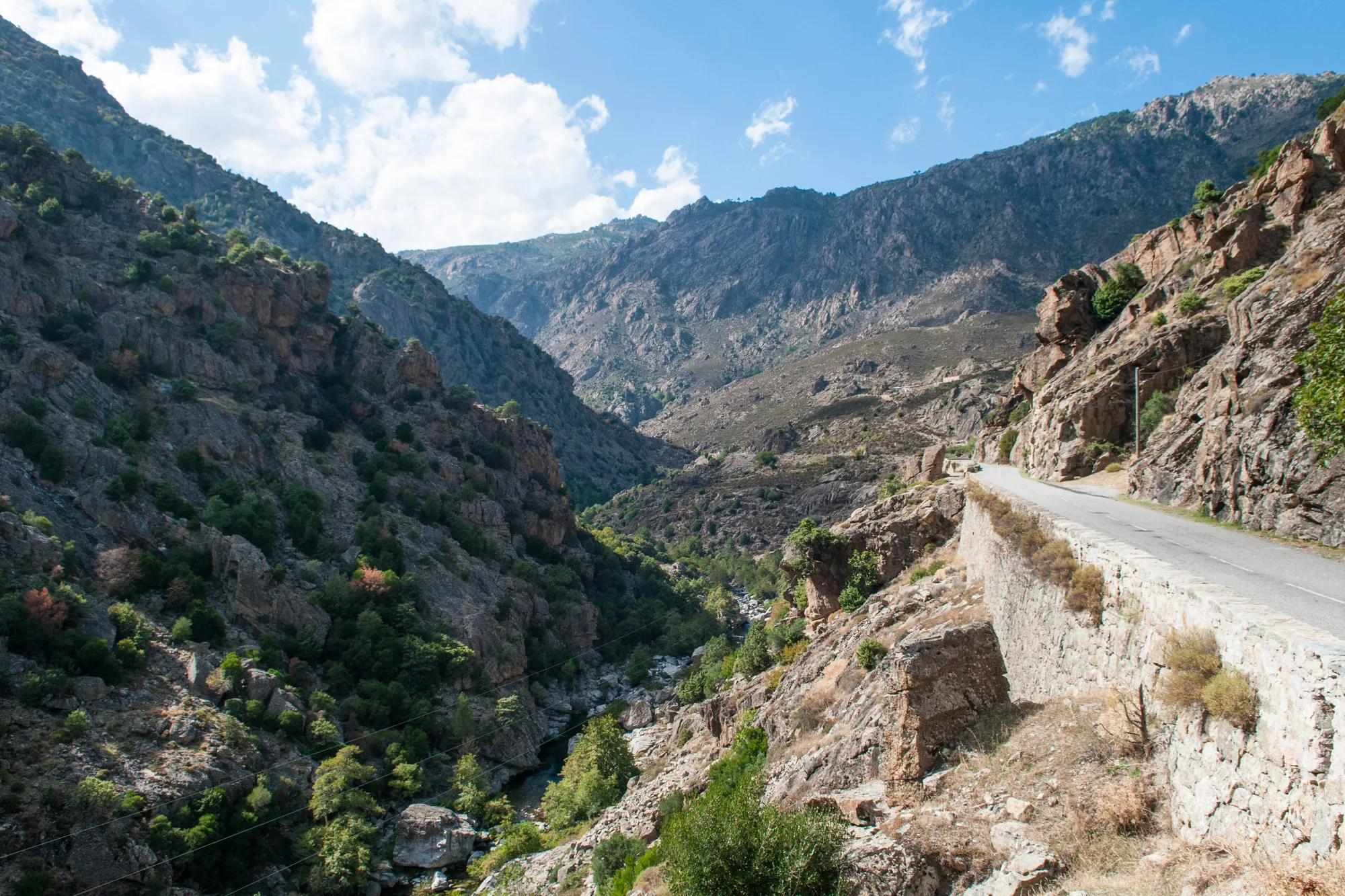
The red granite gorges of the Golo, for centuries the only way into the Niolu, which you now cross on the D84 or on foot along the old path.

From Corte
About 25 min
From Bastia
About 1 hr 15 min
Path
396 m of ascent
Overview

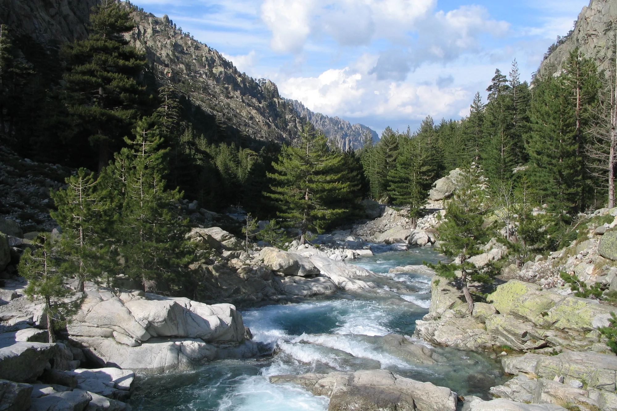
The Scala di Santa Regina is the gorge of the Golo between the Corte valley and the Niolu. Here the river has carved deep gorges into red granite, and the D84 clings to their walls. For centuries the only way through was a mule track with steps cut into the rock, which gave the place its name: scala means staircase. The road was not built until the 19th century.
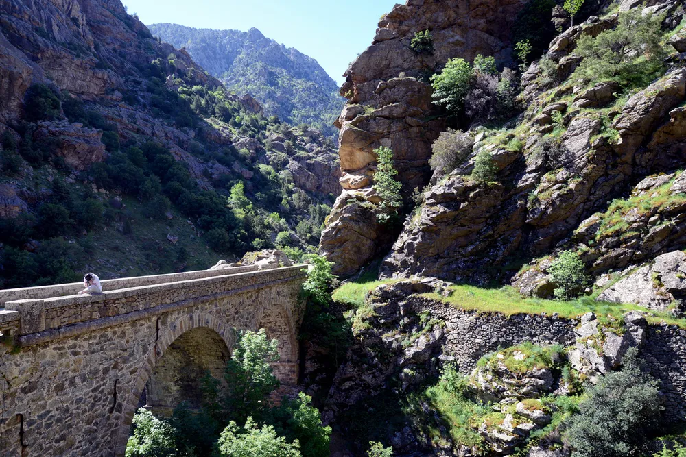
The stone pont di l’Accia on the Scala di Santa Regina pathPhoto : Pierre Bona, CC BY-SA 3.0, via Wikimedia Commons

What you will see

From the road, sheer granite walls that change colour with the light, and the Golo far below. The old path, with its low walls and steps, can still be seen in places on the hillside. Higher up, the gorges open onto the Calacuccia basin and its reservoir, in the Niolu.

Why go

First for the road, one of the most dramatic in the interior, and then for the Niolu at the end of it, a shepherding region that has stayed apart. The best way to see it is to walk the old path: in half a day, you see the gorges as the muleteers did. Come in spring or autumn: in high summer, the heat stays trapped between the rock walls.

Updated 30 October 2026

Getting there

How to get to the Scala di Santa Regina

By car from Corte

Take the T20 north to Francardu, then the D84 towards Calacuccia: about 25 minutes to the gorges, outside summer and without stops (OSRM calculation).

From Bastia

Take the T20 towards Corte, then the D84 at Francardu: about 1 hour 15 minutes.

The road

The D84 is cut into the rock face. It is narrow in places and does not have a parapet everywhere. Only park in the passing places and lay-bys.

Beyond

The D84 carries on to Calacuccia and the Vergio pass, then drops down to Porto through the Aïtone forest.

Hikes

The transhumance path

Corscia loop via the Scala

Elevation
396 m of ascent
Level
Moderate

The old mule track starts from the D84, near the Vignente spring, and climbs in zigzags cut into the rock to Corscia. It is waymarked all the way. The Agence du tourisme de la Corse (the Corsican tourist board) does not give a walking time: allow half a day.

Source:

Agence du tourisme de la Corse

Safety

Safety and precautions

1

Heat in the gorges

The granite reflects the heat and there is little shade on the path. In summer, set off early and carry water.

2

Falling rocks

Do not stop at the foot of the rock faces, and do not park on the bends of the D84.

3

Storms

In the mountains, storms often break in the afternoon: the path turns slippery and the gullies fill quickly.

Find your bearings

Where it is