Ostriconi Beach (Agriates): tips and photos
About 800 m of fine sand between a river mouth, a lagoon and dunes, at the western gateway to the Agriate.
We may earn a commission when you book through our partner links, at no extra cost to you. Updated 1 November 2026
Why go to the Ostriconi
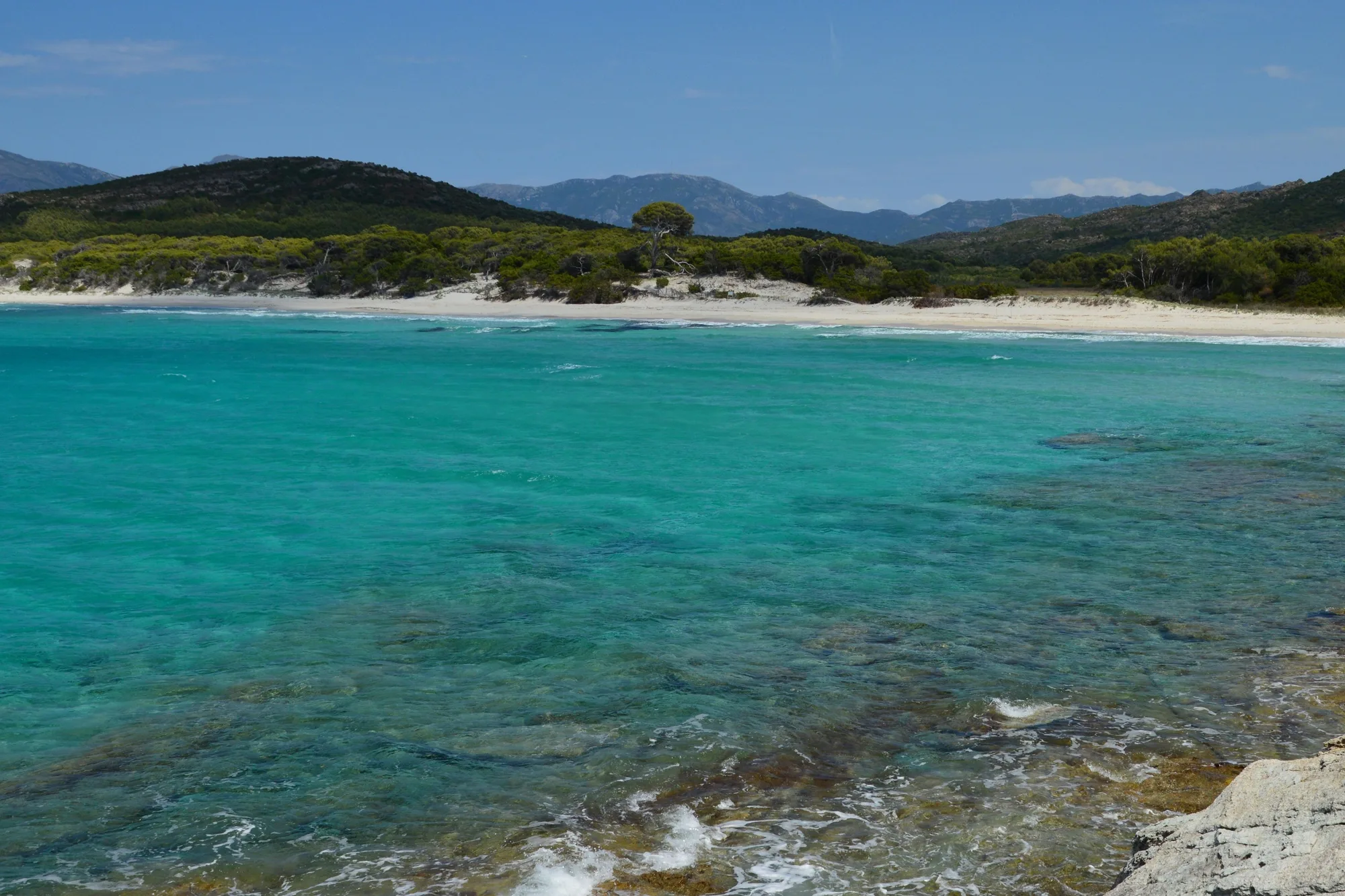
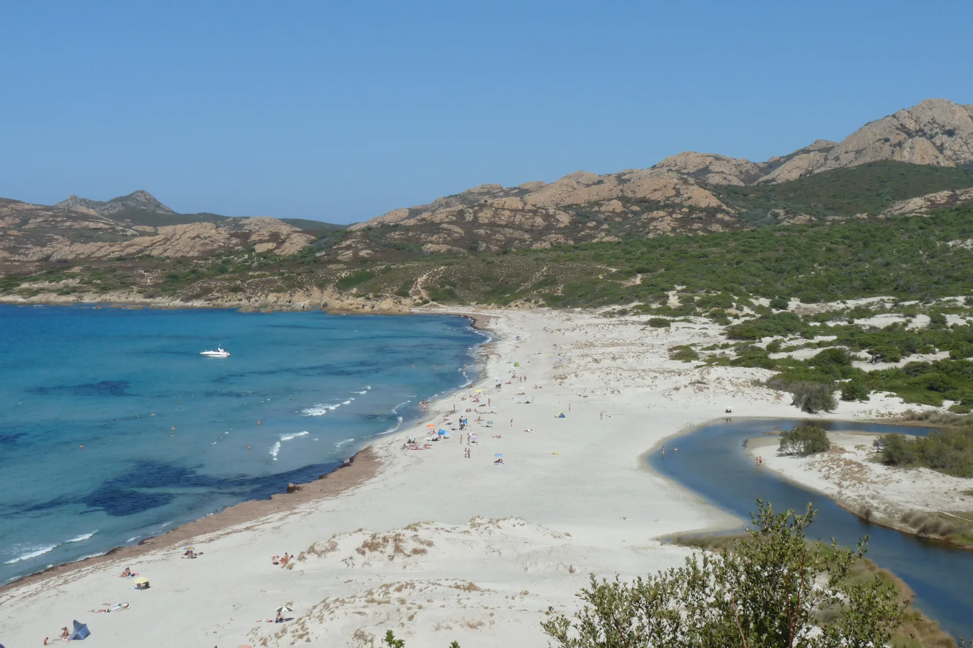
The Ostriconi marks the western gateway to the Agriate (désert des Agriates), on the L’Île-Rousse side. The beach has about 800 m of fine sand at the head of Peraiola bay, between a river mouth, a lagoon, dunes and maquis-covered hills, with no buildings on the shore.
It is also easier to reach than the other Agriate beaches: no track and no boat, just a car parked on the old road, about fifteen kilometres from L’Île-Rousse, and a quarter of an hour’s walk. The trade-off is the westerly wind, which makes swimming risky on some days.
Type of beach: sand, water and swimming
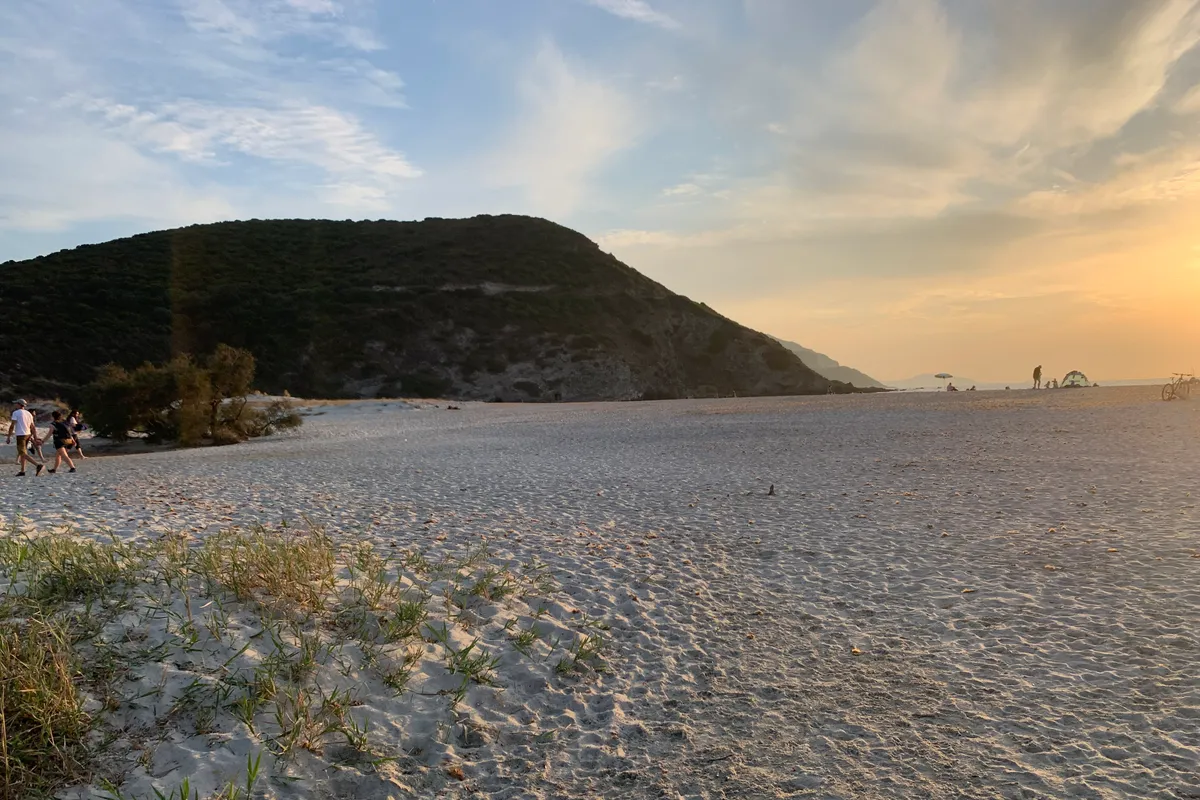
The sand is fine and white, in a strip 40 to 70 m wide according to the OpenStreetMap outline. Both ends of the beach rest against the rocky coast. It faces west-north-west, towards the gulf of L’Île-Rousse: in summer, the sun sets straight ahead of you.
According to recent averages (2023-2025) from the Open-Meteo Marine dataset, the sea offshore is around 23 °C in June, 26 °C in July and August, and 24 °C in September.
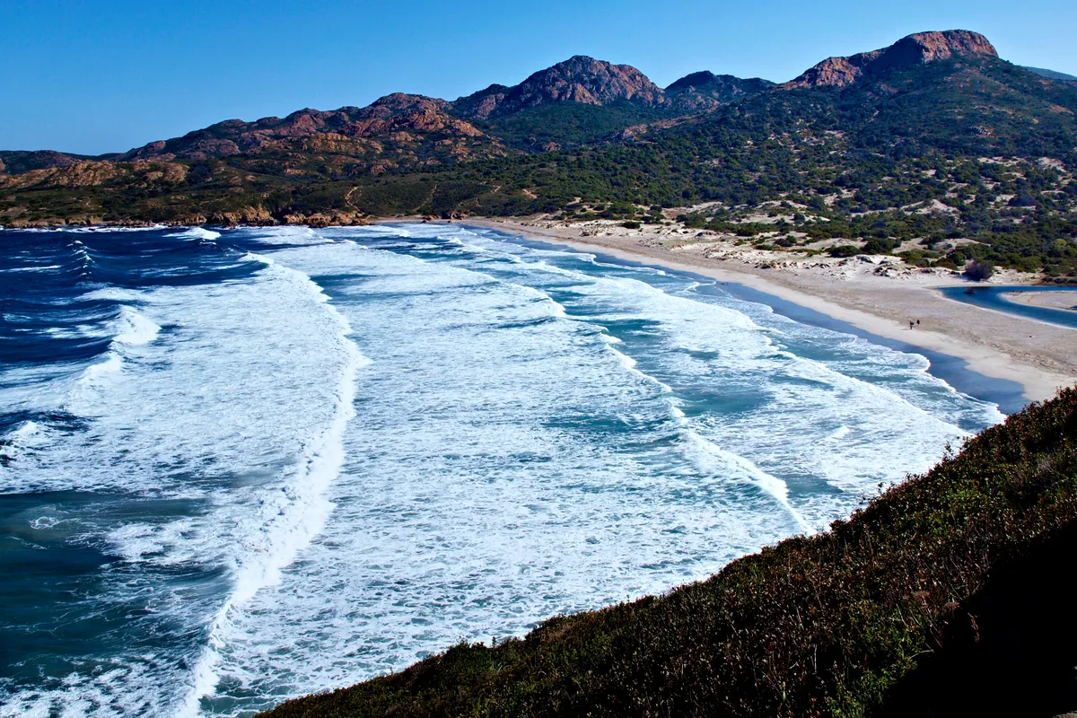
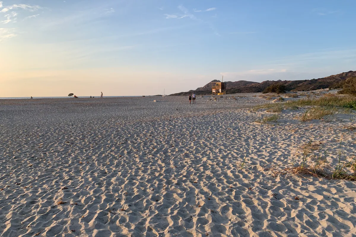
The bay is open to westerly winds. On days of strong wind, the waves can become dangerous, for adults and children alike (Agence du tourisme de la Corse, tourist office). A lifeguard station operates in summer: follow the lifeguards’ instructions and the flags. The dates of lifeguard cover change from year to year: check with the commune of Palasca.
The parts of the beach
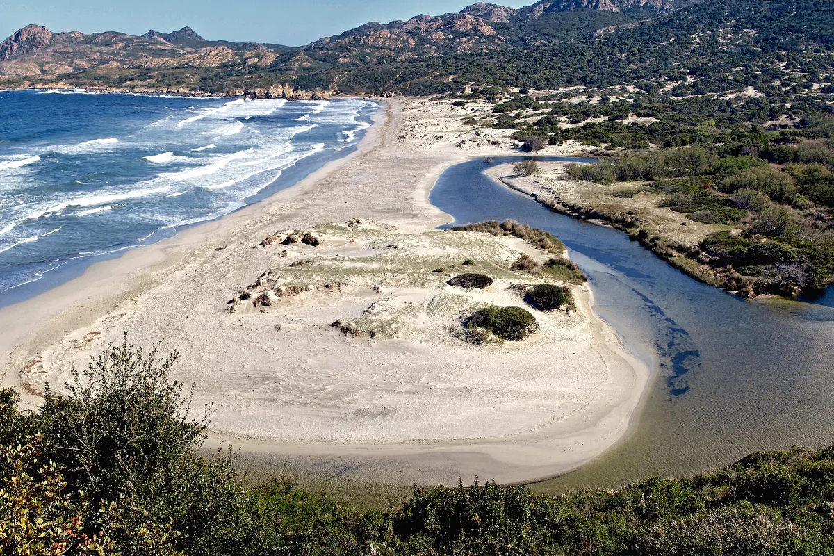
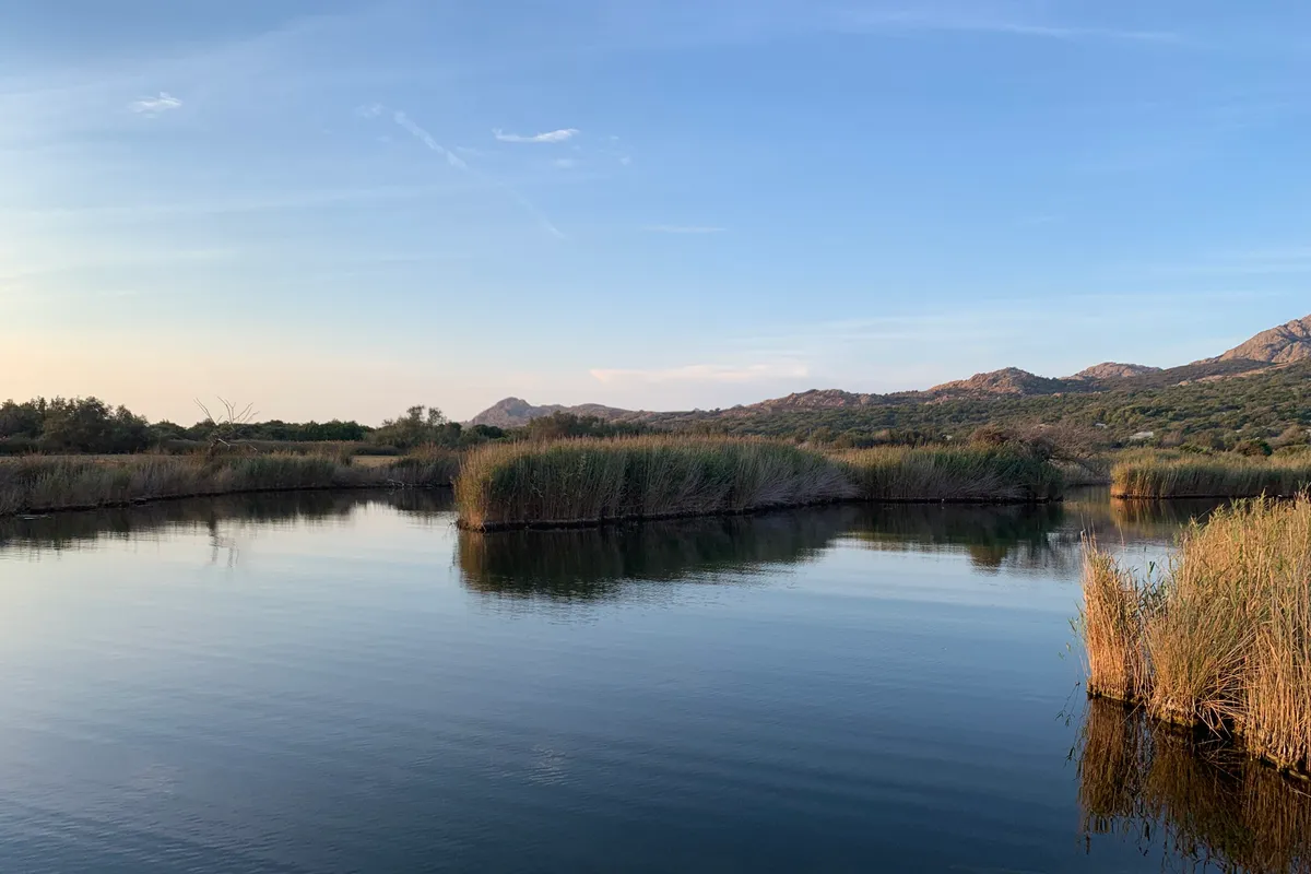
To the south, the Ostriconi river meets the sea. Its course shifts, and the tourist office warns that you sometimes have to wade across it to reach the sand. Behind it, the étang de Foce, a former arm of the river, forms a lagoon ringed with reed beds; the access path crosses it on a wooden footbridge.
In the centre, the sand stretches out in front of large white dunes, which the landscape atlas of the DREAL de Corse (the regional environment agency) describes as the largest on the island. On the lower slopes of the Agriate, the same atlas notes ancient rust-coloured dunes. Centuries-old junipers grow on the wooded dunes, and cows sometimes wander down to the beach (tourist office).
To the north, the beach ends below the Punta di Paraghiola, where the ruins of a Genoese tower still stand. This is where the Agriate coastal path begins, heading for the cove of Vana and then the coast to the east. Stages and walking times are on our Agriates desert page. On days of very severe fire risk, the prefecture may close the path: check the day before.
Dunes, lagoon and protection
The beach, the dunes and the Foce lagoon lie within the listed site of the Ostriconi river mouth and within the area of a biotope protection order, “Étang de Foce et dunes de l’Ostriconi”, issued in 1992. They are part of the Agriates Natura 2000 site, and the sea in front of the beach belongs to the Parc naturel marin du Cap Corse et de l’Agriate, a marine nature park. The Conservatoire du littoral, the public body that protects the French coastline, owns land behind the beach, in the wetland and the plain.
To cross the dune, use the existing paths, and take your rubbish away with you. The bans that apply across the whole area (bivouacking, fires) are set out on the Agriate page. If you come by boat, do not drop anchor in the Posidonia seagrass meadows.
When to go
The sea is already at 23-24 °C in June and still is in September. In July and August, the walk to the beach is hot: come in the morning, or late in the afternoon for the sunset. Whatever the season, check the forecast: in a strong westerly, just watch the breakers from the sand.
In some years, the Collectivité de Corse (the island’s regional authority) runs free guided nature walks around the Ostriconi, booking required: see the programme on isula.corsica.
How to get there
The beach can only be reached on foot. You park on the old road, near the campsite, and a path leads down to the sand.
From L’Île-Rousse
Take the T30 towards Bastia. After about fifteen kilometres, turn left following the signs for the Ostriconi campsite, then take the old road. Allow about a quarter of an hour (OSRM calculation, outside summer and without stops).
From Saint-Florent
The D81 crosses the Agriate via Casta and joins the T30. Allow about three quarters of an hour (OSRM calculation, outside summer and without stops).
Parking
The tourist office says to park along the old road, near the campsite. For this year’s parking rules, check with the commune of Palasca.
On foot
A path starts near the campsite, runs alongside the étang de Foce lagoon and crosses it on a wooden footbridge. Allow about 15 to 20 minutes to the sand (tourist office, OpenStreetMap walking routes). On some days you have to wade across the river at its mouth: wear walking shoes.
By coach
No coach timetable for the Ostriconi has been published for this year. Ask the L’Île-Rousse Balagne tourist office whether there is a summer service.
On the coastal path
The Agriate coastal path starts at the northern end of the beach and follows the coast eastwards. Stages, walking times and rules are on our Agriates desert page.
Where the beach is
Good to know
Dogs
According to the tourist office, animals on a lead are allowed. The beach lies within a biotope protection area: check with the commune of Palasca before bringing a dog.
Wheelchair users
No equipment is listed. The path, the footbridge, the possible wading and the sand make access difficult.
With children
On days of strong wind, the waves can be dangerous, for children too. Follow the lifeguards’ instructions in summer. No official source describes how the seabed shelves.
Naturism
No official text provides for naturism at the Ostriconi.
Eating
No official source lists anywhere to eat on the beach. Bring water and a picnic.
The beach in pictures
By catamaran along the Agriate
From L’Île-Rousse, catamaran trips sail along the Agriate coast: a way to see the Ostriconi and the nearby coves from the sea.
Prices and ratings checked on GetYourGuide in October 2026. We may earn a commission when you book through our partner links, at no extra cost to you.
Staying near the beach
The closest area to the beach in our L’Île-Rousse guide: The seafront.
- Résidence hôtelière Le Cosimo 9.6/10 on Booking · Oct 2026Book
See 4 more places to stay Hide
We may earn a commission when you book through our partner links, at no extra cost to you.
Frequently asked questions
Is Ostriconi beach dangerous?
On days of strong wind, the waves can be dangerous for adults and children alike (Agence du tourisme de la Corse, tourist office). The beach has lifeguards in summer: follow their instructions and respect the flags.
How do I get to Ostriconi beach?
From L’Île-Rousse, take the T30 towards Bastia for about fifteen kilometres, then the old road by the campsite. Park and walk for about 15 to 20 minutes, sometimes wading across the river.
Where can I park for Ostriconi beach?
Along the old road, near the campsite, as the tourist office advises. No cars go down to the sand.
Is there a lifeguard at Ostriconi beach?
Yes, in summer, with a lifeguard station (tourist office, Agence du tourisme de la Corse). The dates change every year: ask the commune of Palasca.
Other beaches nearby
Lotu Beach
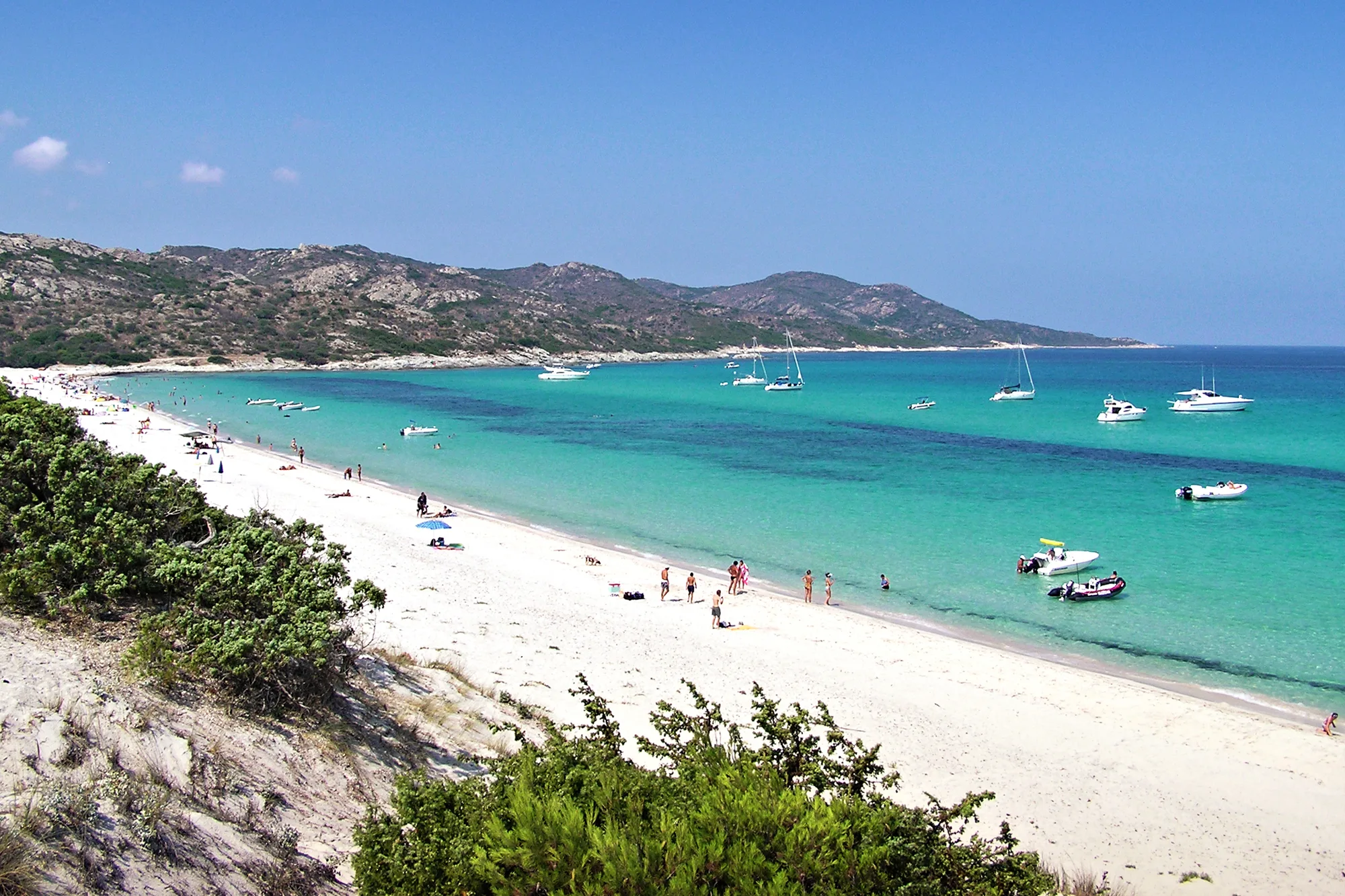
Saleccia Beach
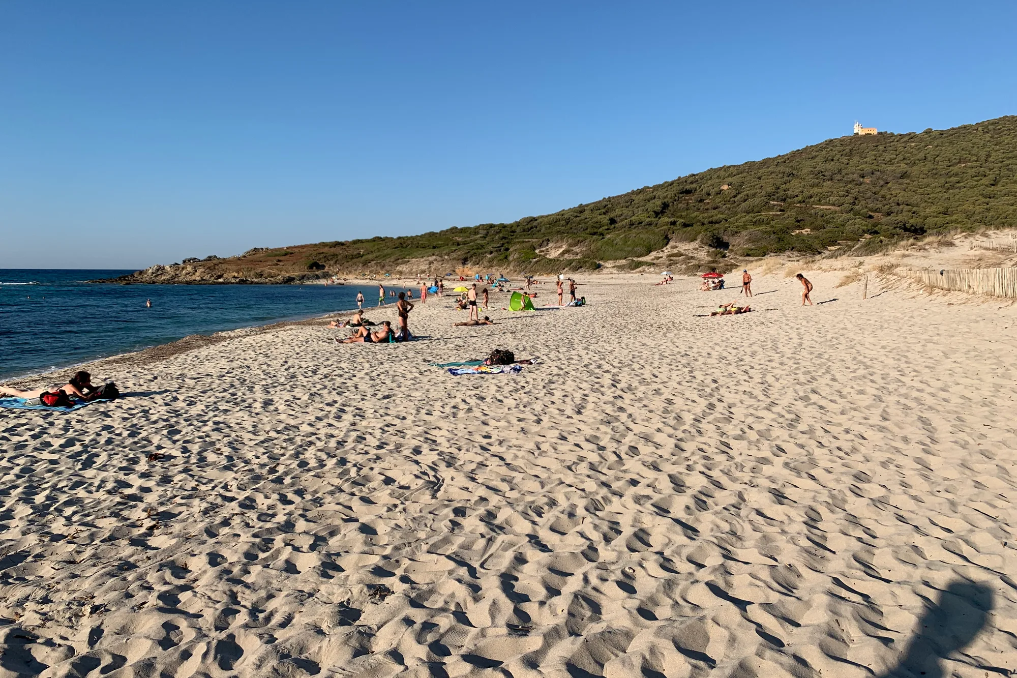
Bodri and Ghjunchitu Beaches