Saleccia Beach (Agriates): tips and photos
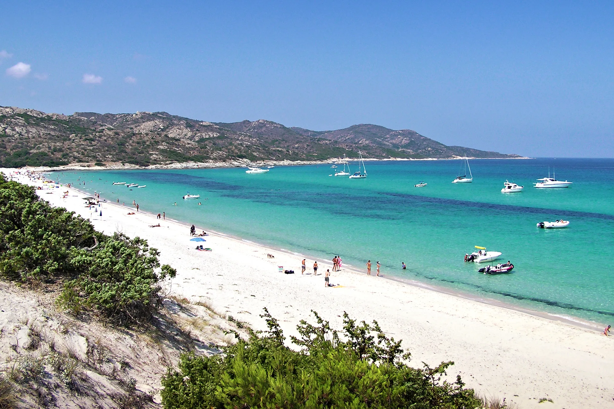
Over a kilometre of white sand with no road and no buildings, between the juniper dunes and the sea off the Agriate.
We may earn a commission when you book through our partner links, at no extra cost to you. Updated 1 November 2026
Why go to Saleccia
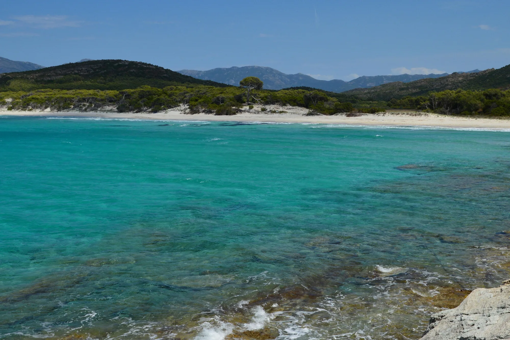
Saleccia is the big beach of the Agriates desert (désert des Agriates): just over a kilometre of white sand, with no tarmac road and no building in sight, between the juniper dunes, the pine wood and turquoise water. The price you pay is the journey: a 4x4 track, a boat from Saint-Florent or a walk. That is also what keeps it out of the way.
It deserves a whole day. Bring water, shade and something to eat: on site there is only a beach shack and the nearby campsite.
Type of beach: sand, water and swimming
The sand is white and fine (Saint-Florent tourist office), 20 to 60 m wide depending on the spot. The beach faces north-west, out to the open sea off the Agriate: in summer, the sun sets over the water.
According to recent averages (2023-2025) from the Open-Meteo Marine dataset, the sea offshore is around 23 °C in June, 26 °C in July and August, and 23 to 24 °C in September.
No lifeguard station is listed at Saleccia. You swim at your own risk, and bear in mind that help takes time to reach the Agriate: 112, the European emergency number, from any phone; 15 for the SAMU (emergency medical service), 18 for the fire brigade, 196 for sea rescue.
The parts of the beach
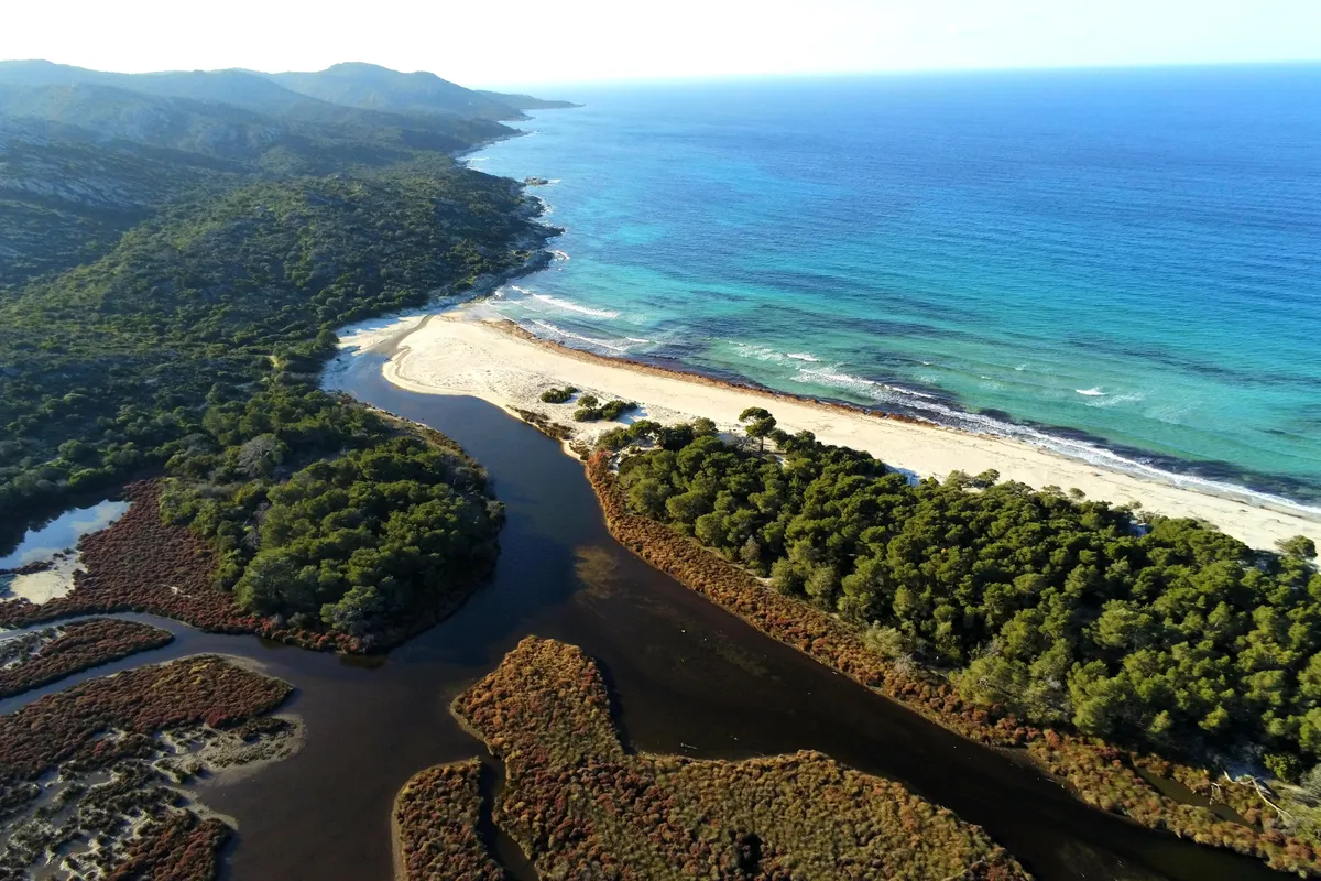
To the south-west, the Liscu flows into the sea and forms a small pool behind the sand bar. This is the quietest corner, with the marsh behind it.
In the centre, the beach is at its widest. It is backed by the dunes and the Padulella marsh; the beach shack and the paths from the car park come out on this side.
To the north-east, the beach ends at the Punta d’Acqua Dolce. Beyond it, the rocky coast leads to the Lotu, an hour’s walk along the coastal path.
A protected beach
The whole beach lies within the Agriate site of the Conservatoire du littoral, the public body that protects the French coastline: part of it belongs to the Conservatoire, and the rest of the sand is public maritime land, which the Conservatoire manages under an agreement. The beach is also in the Agriates Natura 2000 site, and the sea in front of it is part of the Parc naturel marin du Cap Corse et de l’Agriate, a marine nature park.
On site: do not drive in the dunes, do not camp on the beach, and take your rubbish away with you. The full rules for the desert (bivouacking, fires, closures for fire risk) are on our Agriates desert page. If you come by boat, do not drop anchor in the Posidonia seagrass meadows, and read the orders of the maritime prefecture.
A little history
Scenes of the landings in The Longest Day were filmed at Saleccia in 1961: the beach was chosen because no building could be seen from the shore (Agence du tourisme de la Corse, Wikipedia). During the war, in 1943, the submarine Casabianca landed weapons there for the Resistance.
When to go
In June and September, the sea is warm and the track is quieter. In July and August, set off early: the heat in the Agriate is fierce and the shuttle boats fill up. On days of very high fire risk, the prefecture may close the tracks and paths: check the day before.
How to get there
No tarmac road leads to Saleccia. You get there by 4x4 track, by boat from Saint-Florent or on foot along the coastal path.
By 4x4
The track leaves the D81 near Casta, at the place called U Salone, about a quarter of an hour from Saint-Florent and half an hour from L’Île-Rousse (OSRM calculation, outside summer and without stops). It is about a dozen kilometres long, and, according to the tourist office, it is open only to 4x4s and trial motorbikes. Allow about 45 minutes on the track (Agence du tourisme de la Corse). Access is regulated in season: check with the commune before you set off.
Parking
There is a car park at the end of the track, near the campsite, about 5 to 10 minutes on foot from the sand (OpenStreetMap walking routes). Do not drive on the beach or in the dunes.
By boat
From Saint-Florent harbour, shuttle boats serve Saleccia and the Lotu in season, in about twenty minutes (tourist office). This year’s timetables are not published online: see the list of operators on the website of the Saint-Florent tourist office. The jetty is at the Lotu, an hour’s walk from Saleccia.
On foot
The coastal path links the Lotu with Saleccia in about an hour (tourist office). From Saint-Florent, the full walk takes the whole day: see our page on the Agriates desert.
Where the beach is
Good to know
Dogs
No official text sets any rule for dogs at Saleccia. Keep them on a lead and check with the commune of Santo-Pietro-di-Tenda.
Wheelchair users
No equipment is listed. Between the 4x4 track, the deep sand and the dunes, access is not suitable.
With children
No lifeguard station is listed, and no official source describes how the seabed shelves. Bring shade, water and a picnic for the day.
Naturism
No official text provides for naturism at Saleccia.
Eating
A beach shack under the pines and the nearby campsite, which, according to the tourist office, also has the only drinking water point on the path. Elsewhere, nothing: bring water.
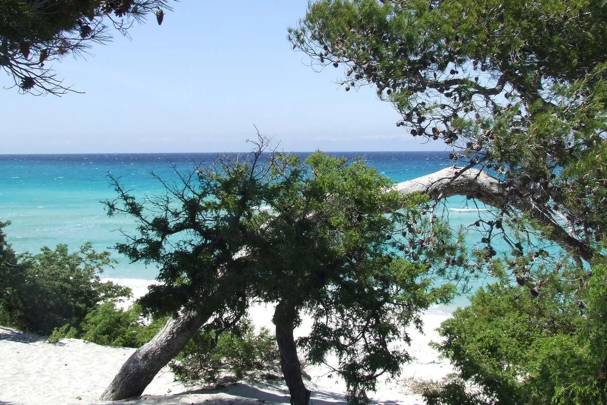
The beach in pictures
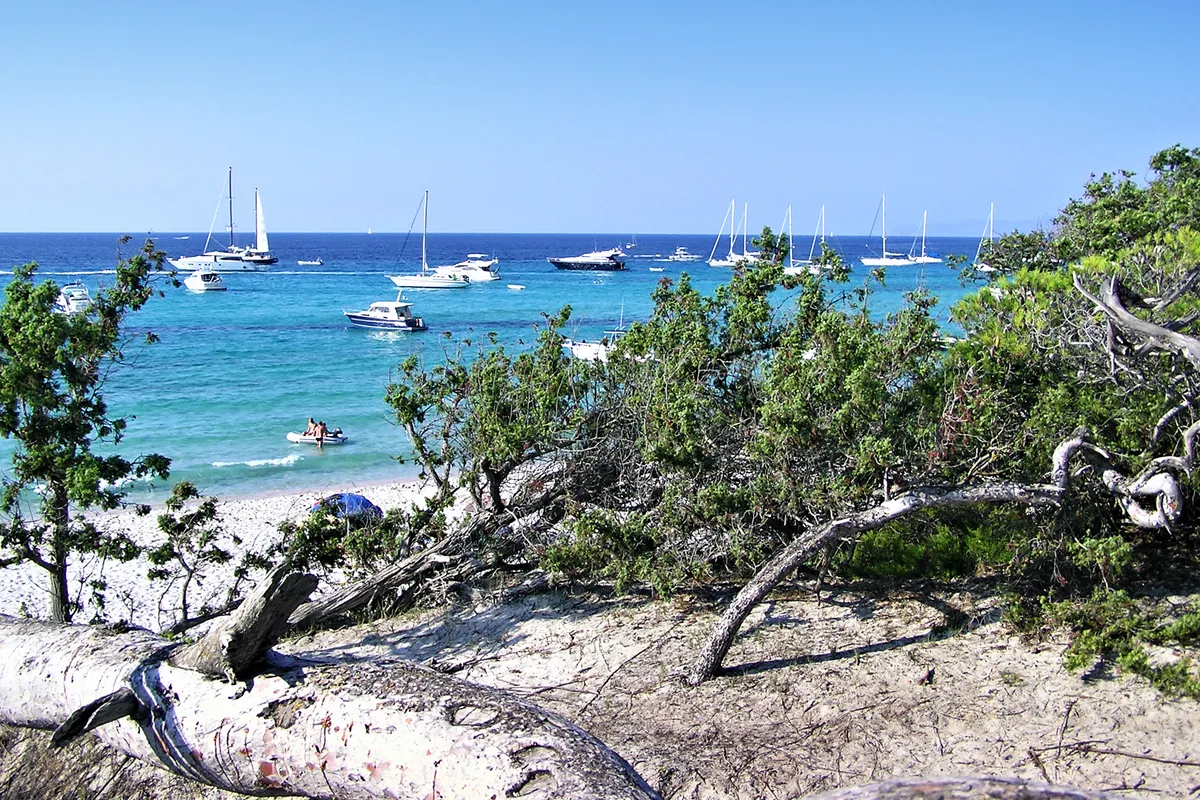
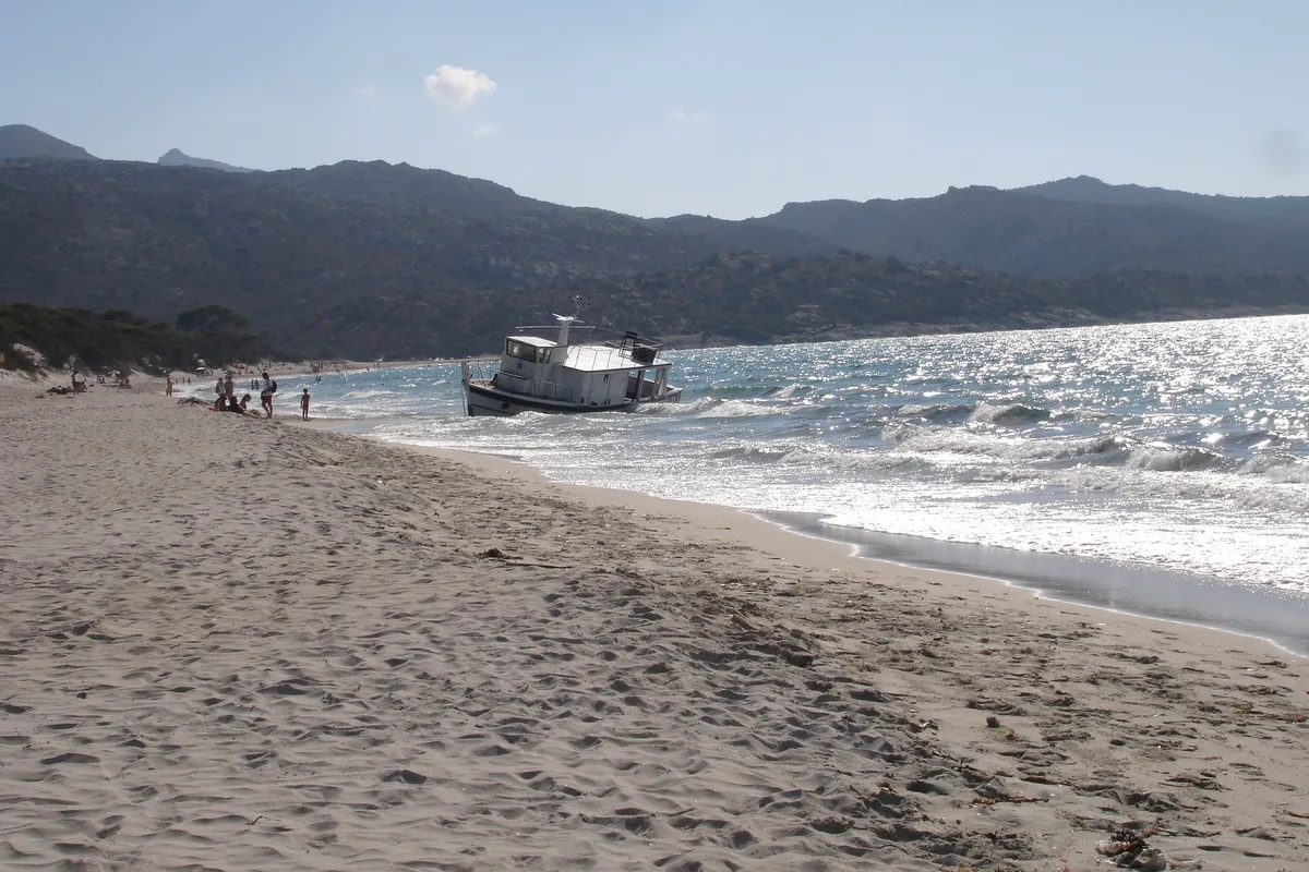
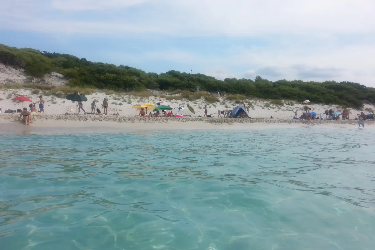
Saleccia by 4x4 or by boat
Days out with a driver to the Lotu and Saleccia, or by catamaran along the Agriate coast.
Prices and ratings checked on GetYourGuide in October 2026. We may earn a commission when you book through our partner links, at no extra cost to you.
Staying near the beach
The closest area to the beach in our Saint-Florent guide: Roya and the Bastia road.
See 2 more places to stay Hide
We may earn a commission when you book through our partner links, at no extra cost to you.
Frequently asked questions
How do I get to Saleccia beach?
By 4x4 on the track that leaves the D81 near Casta (about a dozen kilometres), by boat from Saint-Florent harbour in season (about twenty minutes to the Lotu or Saleccia), or on foot from the Lotu in about an hour.
Where do I get the boat to Saleccia?
At Saint-Florent harbour. Several operators run shuttle boats in season; the Saint-Florent tourist office keeps the list. The jetty is at the Lotu, an hour’s walk from Saleccia.
Can I drive to Saleccia?
Not in an ordinary car: the track is restricted to 4x4s and trial motorbikes (tourist office), and access is regulated in season. Check with the commune before you set off.
Lotu beach or Saleccia?
The Lotu is the easiest to reach by boat, with its jetty. Saleccia, an hour’s walk away or reached by 4x4, is the longer beach and has shade under the pines and drinking water. On the coastal path you can see both in a day.
Other beaches nearby
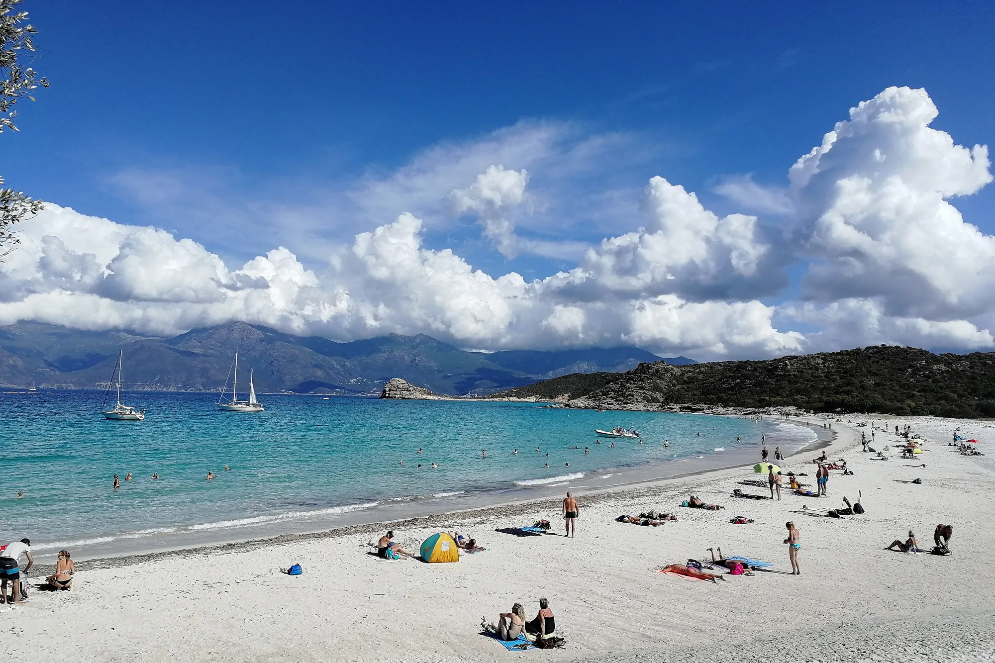
Lotu Beach
The Agriates desert
Ostriconi Beach