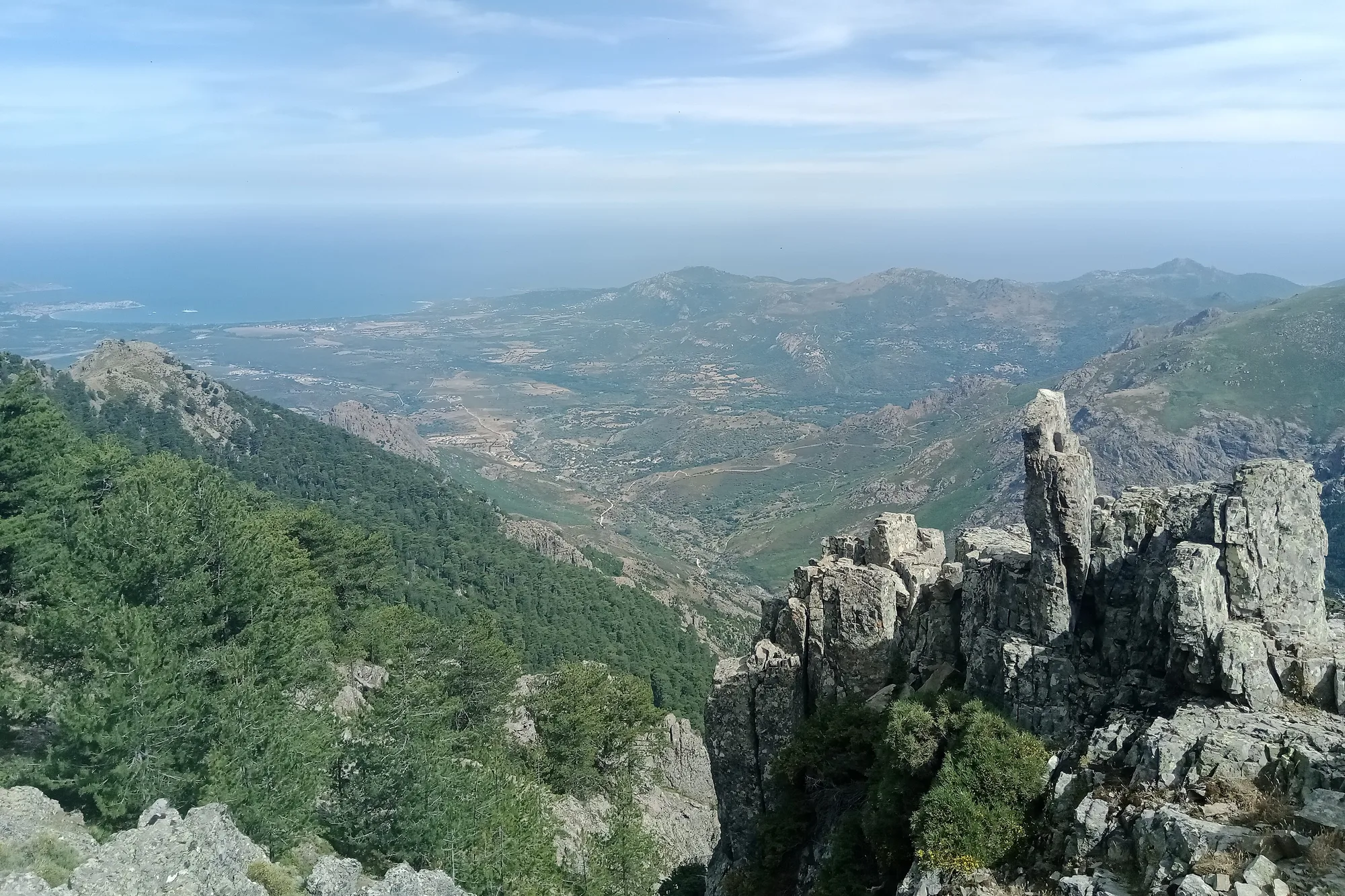
Corsica has many mountain lakes of glacial origin, at the foot of the high peaks, and a few large reservoirs built for electricity and drinking water. Here are eight lakes, chosen because their access is described by an official source: the Parc naturel régional de Corse (Corsica’s regional nature park), the Agence du tourisme de la Corse (the Corsican tourist board) or a tourist office.
Swimming is banned in the mountain lakes by the regional nature park, and you must not trample the wet grasslands around them. Walking times are those of the official route guides; where there are none, we only give a distance.
| Lake | Commune | Access | Walk from the car | Level |
|---|---|---|---|---|
| Nino | Corte | Popaghja forest lodge | 4 to 6 hrs return | Difficult |
| Melo | Corte | Frasseta bridge (shuttle in summer) | 6 to 7 hrs return | Difficult |
| Capitello | Corte | Frasseta bridge (shuttle in summer) | About 8 hrs return | Difficult |
| Creno | Orto | Croce Maio car park, above Soccia | 1 hr 30 min return | Easy to moderate |
| Bastani | Ghisoni | E Capanelle | About 3 hrs | No particular difficulty |
| Tolla | Tolla | Road to the lake | - | - |
| Ospedale | Porto-Vecchio | Road to the dam | - | - |
| Calacuccia | Calacuccia | Road to the lake | - | - |
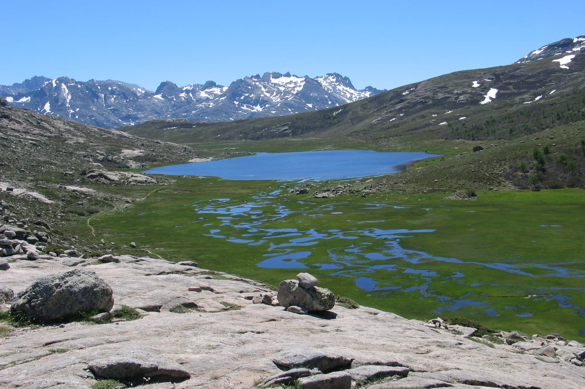
Lake Nino, the most visited
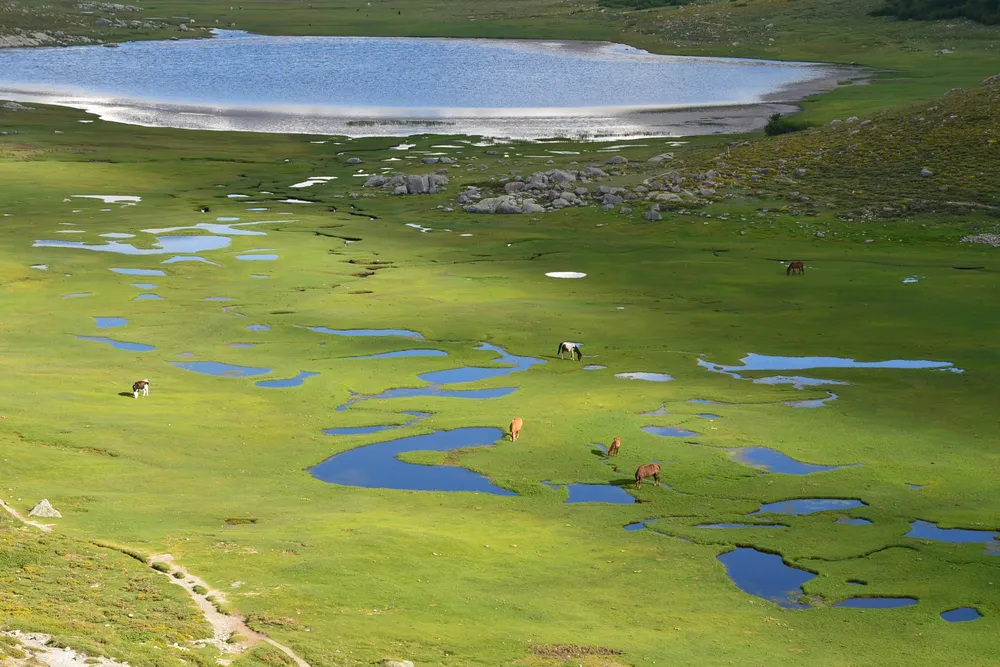 Photo : Ed BEDOS, CC BY-SA 4.0, via Wikimedia Commons
At 1,743 m, above the Niolu, Lake Nino is the source of the Tavignano and the second largest natural lake on the island. It is surrounded by pozzines, short-grass meadows riddled with small pools, where the park bans walking poles. Horses and cows graze freely there in summer.
You walk up from the Popaghja forest lodge, in the Valdu Niellu forest: about 4 km each way, 730 m of ascent, 4 to 6 hrs return, with a gully to climb using your hands. The tourist board rates the route as difficult. The GR20 also passes along its shore. Everything is covered on our Lake Nino page.
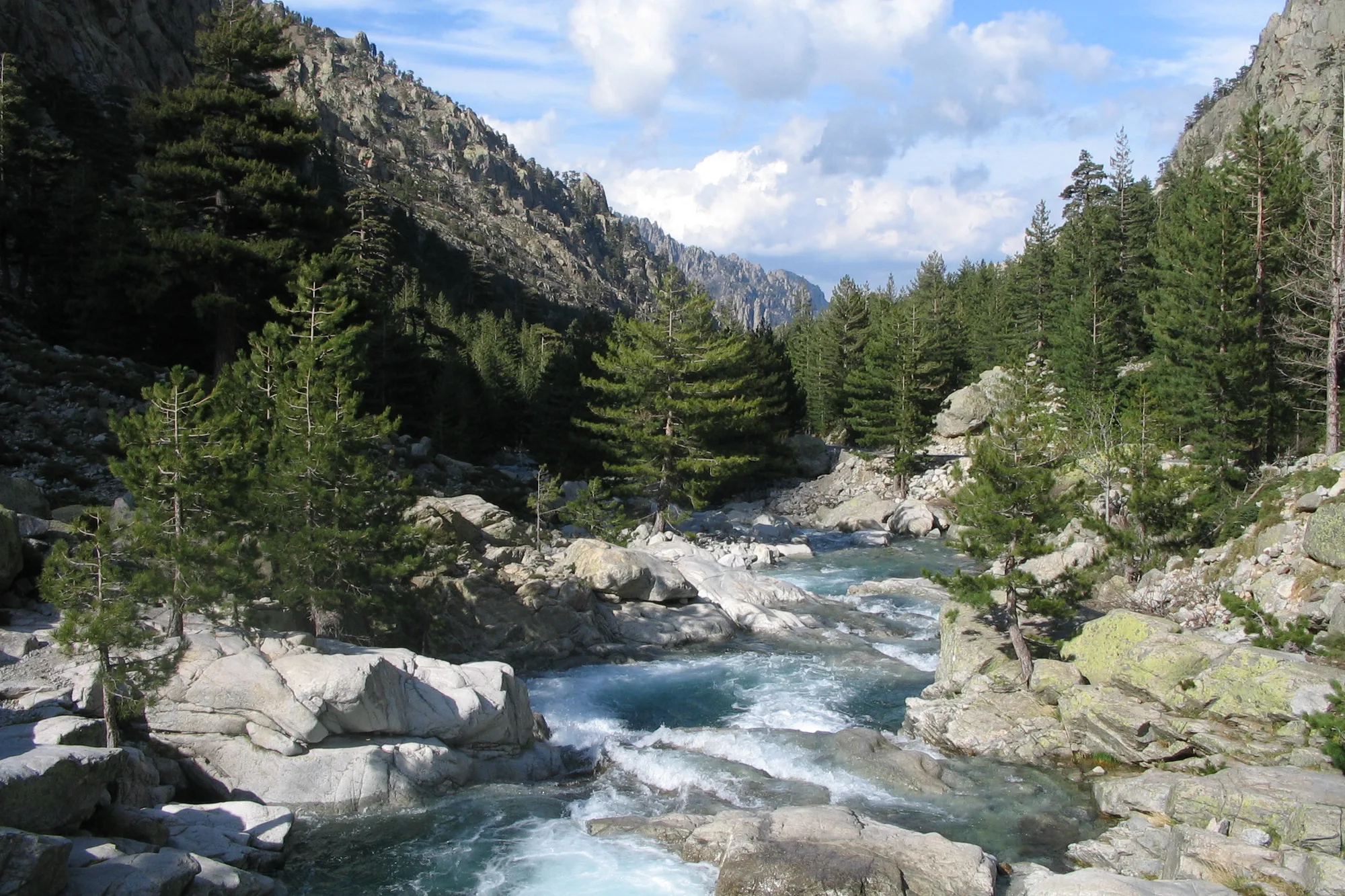
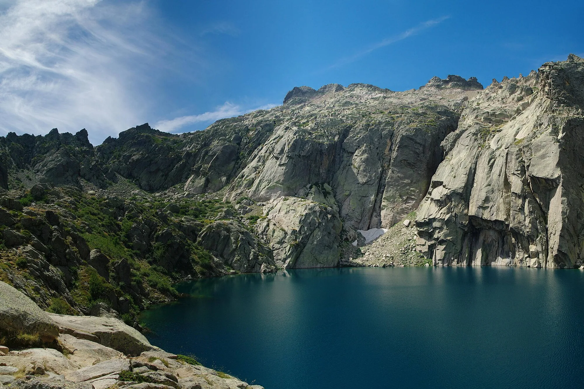
Lakes Melo and Capitello, at the head of the Restonica
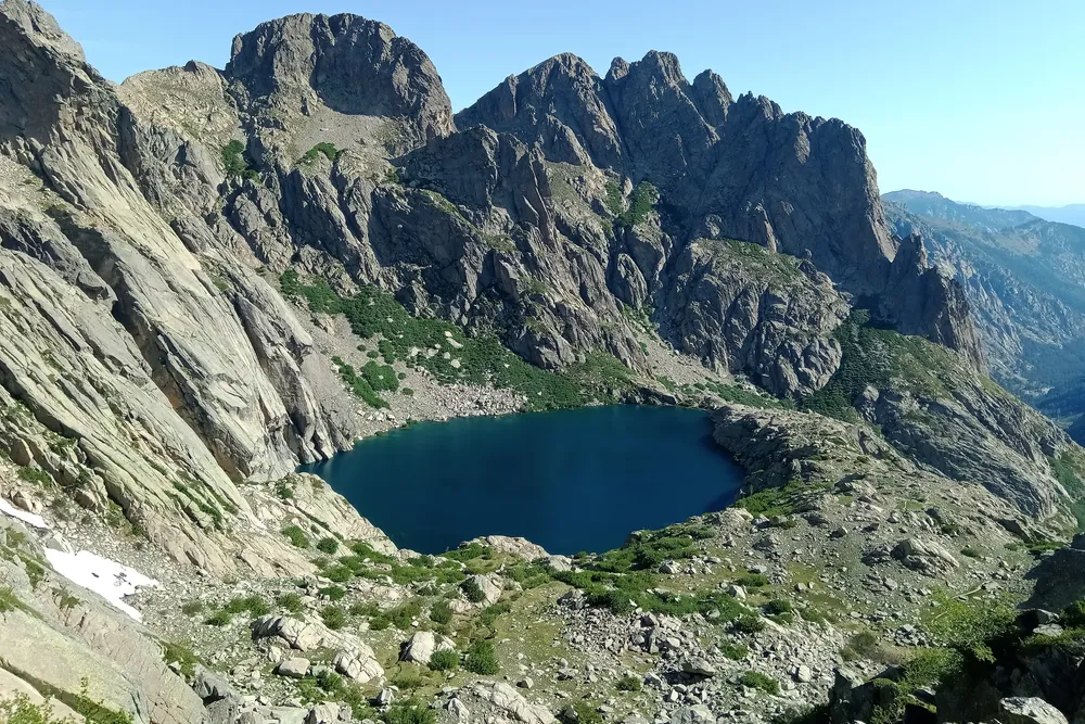 Photo : Rémih, CC BY-SA 4.0, via Wikimedia Commons
At the head of the Restonica valley, above Corte, Lake Melo, at around 1,710 m, is the source of the Restonica. Higher up, Lake Capitello, at 1,930 m, is the deepest lake in Corsica, at 42 m according to the park and the tourist board.
Since the road up the upper valley was cut, in November 2023, you start from the Frasseta bridge, served in summer by a shuttle from Corte station. The tourist board allows 6 to 7 hrs return to Lake Melo, and an hour and a half more for Capitello. Ladders help you through the section below Lake Melo. Our Restonica page gives the shuttle timetable and the details of the path. Further north, Lake Oriente is reached by a mountain path that the tourist board describes as a climb of several hours, with no precise time.
Lake Creno, the easiest of the mountain lakes
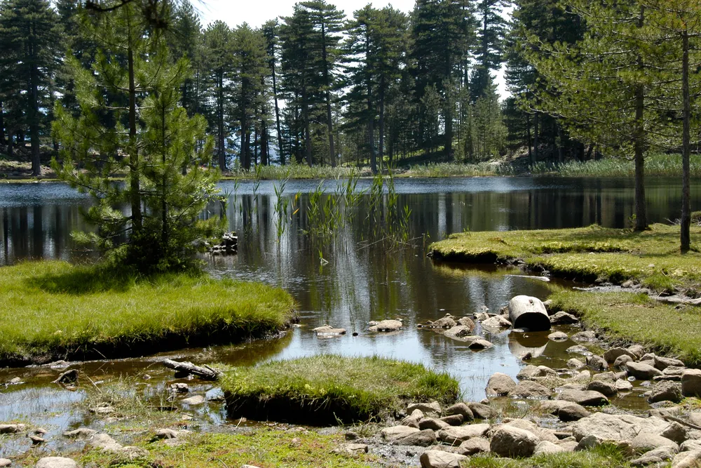 Photo : rené mikkers, CC BY-SA 3.0, via Wikimedia Commons
At 1,310 m, above Soccia and Orto, Lake Creno is the only glacial lake in Corsica surrounded by a forest of laricio pines, according to the park and the tourist board. Water lilies partly cover it in early summer.
The Ouest Corsica tourist office describes the path from the free Croce Maio car park, above Soccia: 4 km, 1 hr 30 min return, 310 m of ascent, at an easy to moderate level. The car park has few spaces: arrive early. From Orto, the path is more exposed to the sun and takes 3 hrs 30 min return. There are picnic tables by the lake, but swimming is strictly forbidden. The lake and its peat bogs are a Natura 2000 site.
Soccia is about an hour and a half from Ajaccio by car, outside summer and without stopping.
Lake Bastani, above Ghisoni
At over 2,000 m, at the foot of Monte Renoso, Lake Bastani is one of the highest lakes on the island. You start from the E Capanelle shepherds’ huts, above Ghisoni, on the GR20, along the ski-lift path, then a ridge and pozzines. The tourist board allows 510 m of ascent and 3 hrs of walking, with no particular difficulty, from spring to summer.
Allow about an hour and a half by road from Corte, outside summer and without stopping.
Lake Tolla, for canoeing and picnics
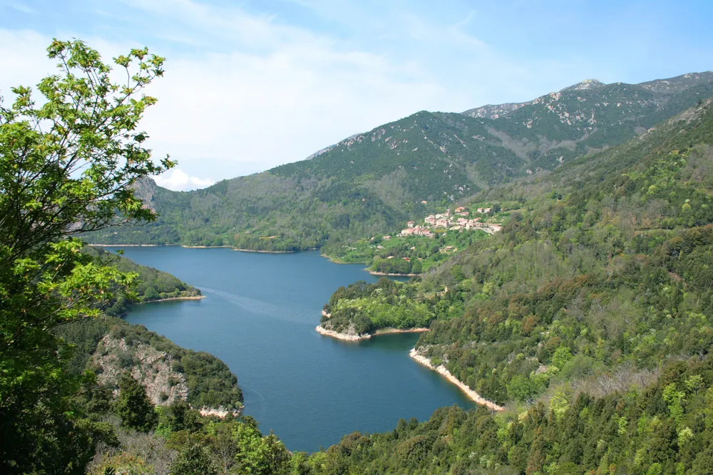 Photo : Jean-Pol GRANDMONT, CC BY 3.0, via Wikimedia Commons
About three quarters of an hour from Ajaccio, outside summer and without stopping, Lake Tolla is an EDF reservoir on the Prunelli. It also supplies drinking water to the Ajaccio area, according to the water agency. In summer, a water sports centre hires out pedalos, and the water agency lists canoeing, sailing and swimming as activities practised there. We have not found an official rule on swimming: ask at the Tolla town hall or at the water sports centre.
Lake Ospedale, in the forest above Porto-Vecchio
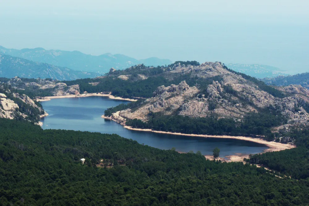 Photo : Telperion, CC BY-SA 3.0, via Wikimedia Commons
On the road to Bavella, about half an hour from Porto-Vecchio, outside summer and without stopping, Lake Ospedale is a drinking water reservoir for the Porto-Vecchio area, in the middle of the forest. According to the water agency, boating is banned and only fishing from the bank is practised. It makes a stop on the way to the Bavella Needles.
Lake Calacuccia, in the Niolu
About half an hour from Corte via the Scala di Santa Regina, outside summer and without stopping, Lake Calacuccia is an EDF reservoir on the Golo, filled in 1968, at the foot of Monte Cinto. Motorboats are banned there, according to the water agency. You drive along it on the way to the Valdu Niellu forest, where the path to Lake Nino starts.
Before you go
The mountain lakes are above 1,300 m. Set off early, as storms often break in the afternoon, take water and warm clothing, and check the Météo-France mountain forecast{public}. Wild camping is banned: you may only sleep around the refuges of the GR20, with a booking. From 15 June to 30 September, lighting fires in the mountains is banned, and the prefecture can close the massifs on days of very severe risk.
In an emergency, call 112, the European emergency number, from any phone; 15 for the SAMU (emergency medical service), 18 for the fire brigade, 196 for sea rescue.