In Corsica, you can swim in the rivers as well as the sea. The torrents coming down from the mountains have carved the granite into pools of clear water, below old bridges or at the bottom of wooded gorges. Here are eight places to swim, chosen because their access is described by an official source: the commune, the tourist office, the Agence du tourisme de la Corse (the Corsican tourist board) or our own pages on each place. For each one, you will find the river and the commune, the walk from the car or the train, the difficulty and the precautions.
Do not swim in the mountain lakes, where the Parc naturel régional de Corse (Corsica’s regional nature park) bans it: our page on the lakes of Corsica says which ones you can walk to. None of these swimming spots has lifeguards. Before you set off, read the safety section further down: in a river, the main danger comes from storms, even distant ones.
| Site | River | Commune | Walk from the car or train | Difficulty |
|---|---|---|---|---|
| Cavu pools | Cavu | Zonza | 20 to 25 min from the entrance car park | Suitable for everyone |
| Aïtone pools | Aïtone | Évisa | About ten minutes from the D84 | Easy |
| The two bridges of Ota | Porto river | Ota | Short approach from the D124 | Easy |
| Ponte Vecchiu | Fango | Galéria, Manso | A few minutes from the D351 | Short access |
| Tavignano gorge | Tavignano | Corte | About 2 hours to the footbridge | Hike |
| Restonica pools | Restonica | Corte | Shuttle from Corte station | Depends on the stop |
| Below the Vecchio bridge | Vecchio | Venaco, Vivario | A few minutes, with steps | Short access |
| Cascade des Anglais | Agnone | Vivario | About 1 hr 30 min return from the station | Easy |
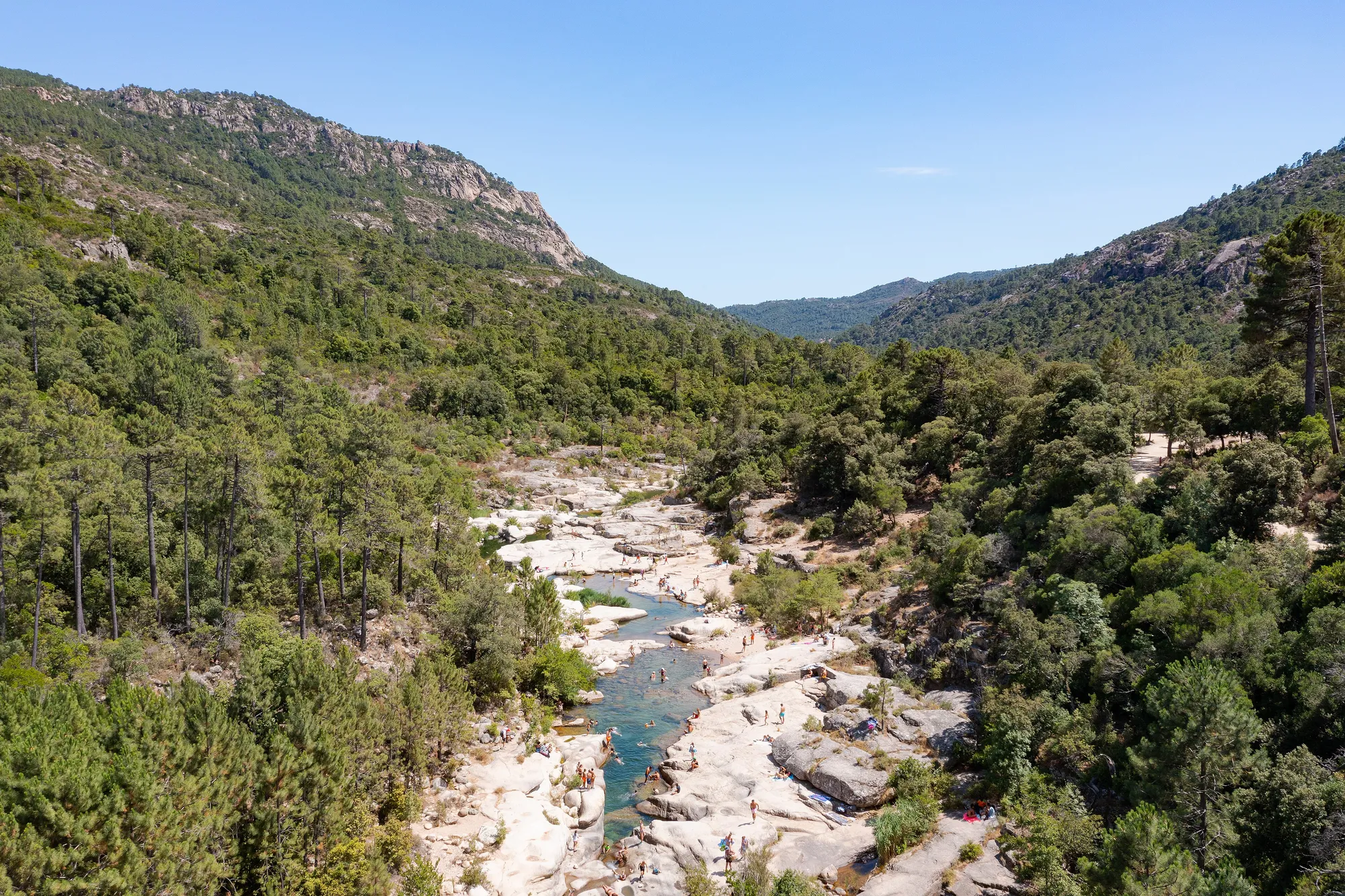
The Cavu natural pools (Zonza)
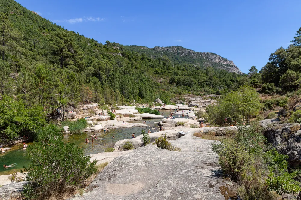 Photo : dronepicr, CC BY 2.0, via Wikimedia Commons
The Cavu flows down from the mountains towards the east coast, above Sainte-Lucie-de-Porto-Vecchio, in the commune of Zonza. Its natural pools form a chain of basins between large granite slabs and pine trees. From Porto-Vecchio, allow about half an hour by road, outside summer and without stopping, via the T10 and then the road towards Taglio Rosso.
In season, you park in the paid car park at the entrance to the valley, and a free shuttle runs up to the pools in high season. On foot, allow about 1.5 km, or 20 to 25 minutes. The Alta Rocca tourist office describes the riverside path up to the Marionu bridge as suitable for everyone. The slabs stay slippery, even in August.
Since the bilharzia outbreak of 2013, the river has been monitored. According to the ARS de Corse (the Corsican regional health agency), freshwater snails are sampled every week from 1 June to 30 August, and none was infected in 2025. The ARS also lists the Pisciarone site, in Zonza, among the spots where swimming is banned or permanently advised against in 2026: follow the signs on site. All the details on parking, the shuttle and the path are on our Cavu natural pools page.
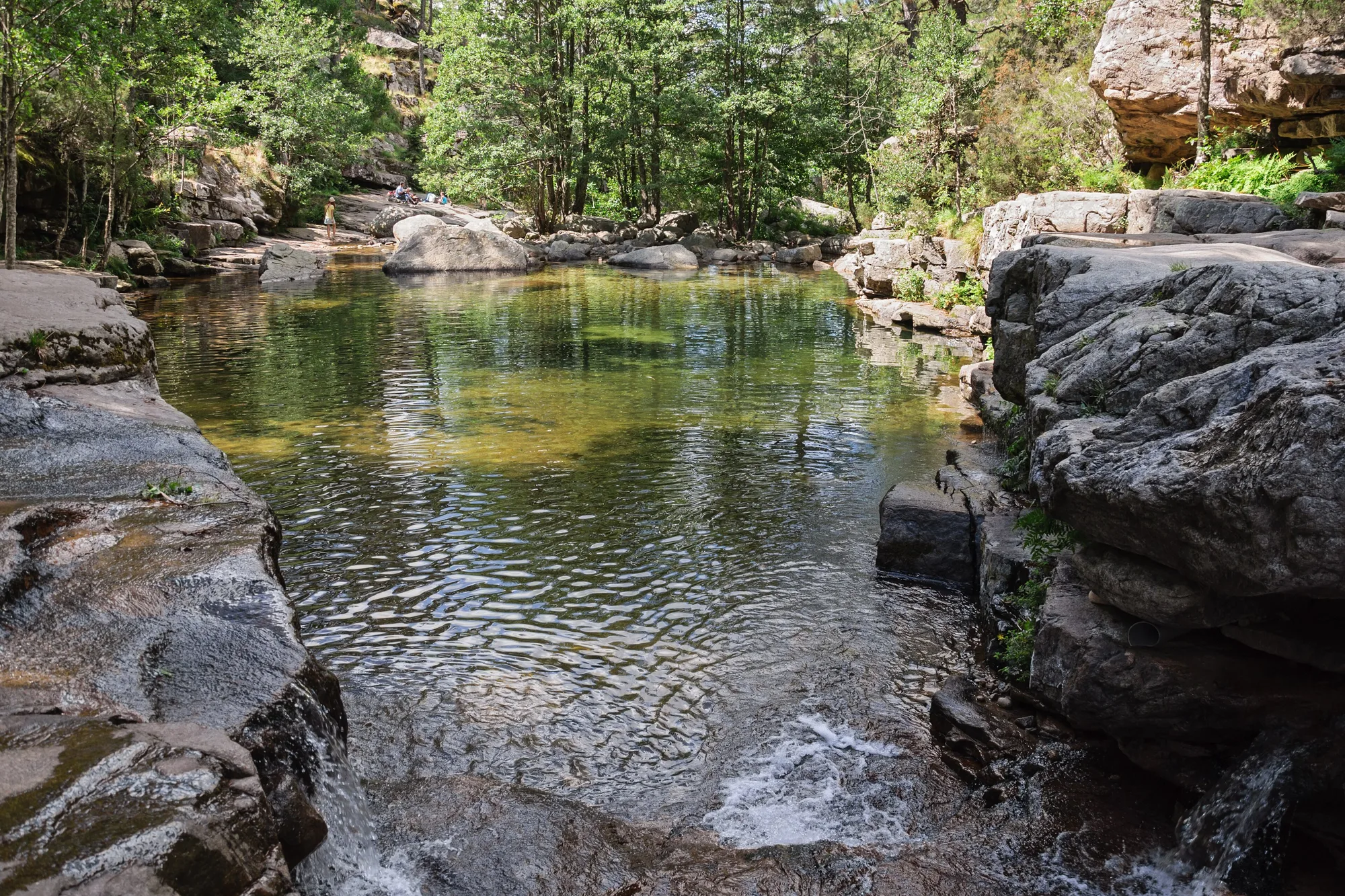
The Aïtone pools (Évisa)
Above the Gulf of Porto, the Aïtone torrent runs through a forest of tall laricio pines and forms pools between the slabs. From the D84, at the edge of the forest, about ten minutes’ easy walk is enough to reach them; Porto is about half an hour away by road. From the village of Évisa, the chestnut trail also leads down to them, in 2 hours there and back.
In July and August, the pools are very busy in the afternoon: come in the morning. The water stays cool, and the slabs are smooth and wet. Do not dive into water when you cannot see the bottom. See our page on the Aïtone forest.
The two bridges of Ota, on the Porto river
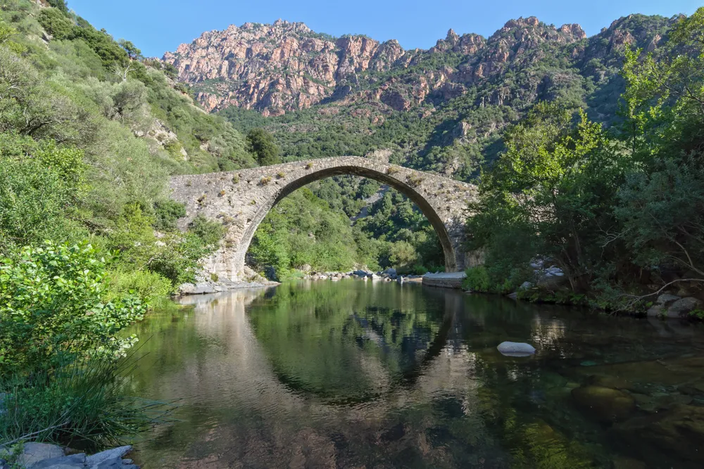 Photo : Myrabella, CC BY-SA 3.0, via Wikimedia Commons
Below the village of Ota, the D124 runs down to the place known as Les Deux Ponts (the two bridges), about a quarter of an hour from Porto by car, outside summer and without stopping. You reach it directly by road, followed by a short approach on foot. Depending on the season and the flow, the river forms pools and calm stretches for swimming. There are no facilities.
It is also the start of the Spelunca gorge path, rated easy by the Agence du tourisme de la Corse. As far as the Genoese bridge of Zaglia, it is almost flat: about 1.4 km of path, or some twenty minutes’ walk. The Genoese bridge of Pianella is about 400 m downstream from the two bridges. The rocks are slippery, the flow varies with the season, and nobody watches over swimmers: keep children in the calm areas.
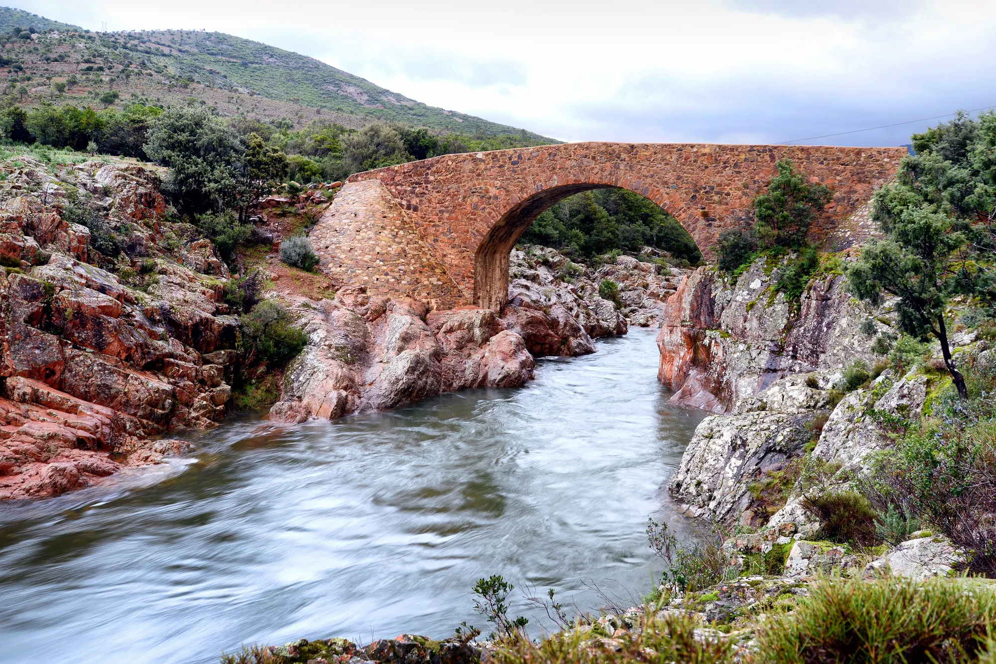
The Ponte Vecchiu, on the Fango (Galéria and Manso)
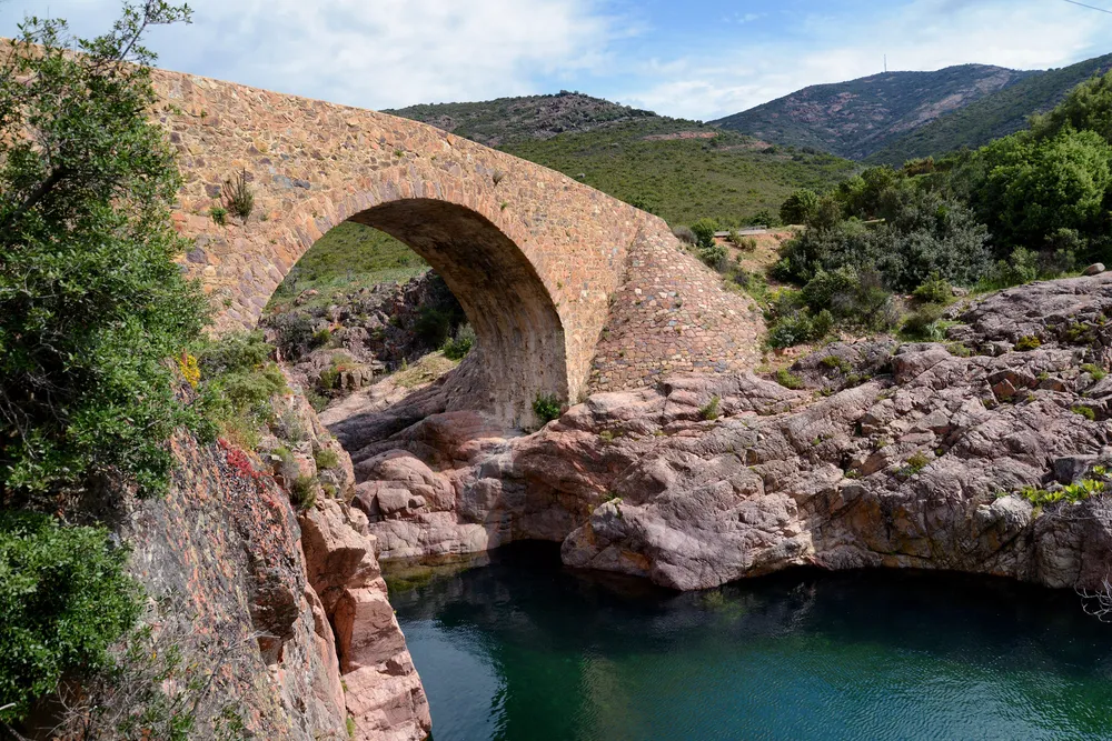 Photo : Pierre Bona, CC BY-SA 3.0, via Wikimedia Commons
The Fango basin stretches from the Punta Minuta (2,556 m) to the Gulf of Galéria, and has been a biosphere reserve since 1977. Its pink rocks and clear pools draw plenty of swimmers in summer. The Ponte Vecchiu, an old humpbacked bridge, crosses the river beside the D351, about a quarter of an hour from Galéria, outside summer and without stopping.
The reserve’s leaflet shows a car park at the Ponte Vecchiu and asks visitors not to park along the road. For your safety, it advises staying on the main course of the Fango and not heading up its tributaries. To protect the water, do not wash in the river, and do not put on sun cream before you swim. Higher up, the D351 continues along the river to the hamlets of Tuarelli and Manso.
The Tavignano gorge (Corte)
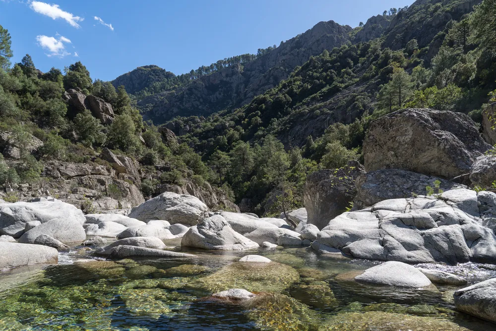 Photo : Alexkom000, CC BY 4.0, via Wikimedia Commons
The Tavignano leaves its gorge just below the citadel of Corte. The only way in is on foot, along an old mule track waymarked in orange, the Mare a Mare Nord. From Corte station, allow about twenty minutes to reach the start of the path. At the start, a sign reading ‘Lavu a madre’ points to the swimming spot.
Further on, the path climbs up the gorge among laricio pines to the Rossolino footbridge: about 6 km and 2 hours’ walk, according to the Agence du tourisme de la Corse. This is a proper hike: good shoes, water and an early start. The path follows the river and its pools.
Downstream, at the Baliri bridge on the edge of Corte, the ARS lists swimming among the sites that are banned or permanently advised against in 2026. Swim in the gorge, not in town.
The Restonica pools (Corte)
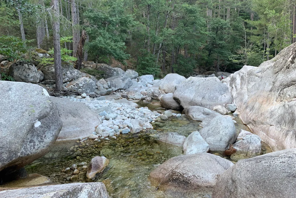 Photo : Chabe01, CC BY-SA 4.0, via Wikimedia Commons
The Restonica rises at Lake Melu and flows down towards Corte in cascades that have worn the granite smooth. Since the storms of November 2023, the road up the upper valley has been closed. You go up by shuttle from Corte station, every day from 1 May to 30 September 2026, and you book in the Via Corsica app. There is no mobile signal in the valley: book your return before you set off.
The pools draw swimmers from June. The water is cold and the slabs are slippery. In summer, storms often break in the afternoon and the river rises fast. Timetables, stops and the hike to the lakes: see the Restonica valley.
Below the Vecchio bridge (Venaco and Vivario)
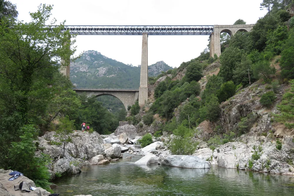 Photo : Donarreiskoffer, CC BY-SA 4.0, via Wikimedia Commons
South of Corte, the T20 and the railway cross the Vecchio gorge on several bridges, including the large iron viaduct of the Ajaccio - Bastia line. Park near the road bridge, about a quarter of an hour from Corte and an hour from Ajaccio, outside summer and without stopping. The path starts to the right of the bridge pier, then steps and a track lead down to the river: a few minutes on foot. At the bottom, plenty of quiet pools are good for a swim.
The way down involves steps and rocks. Wear shoes that hold your feet firmly, and do not settle at the foot of the rock walls. See also visit Corte.
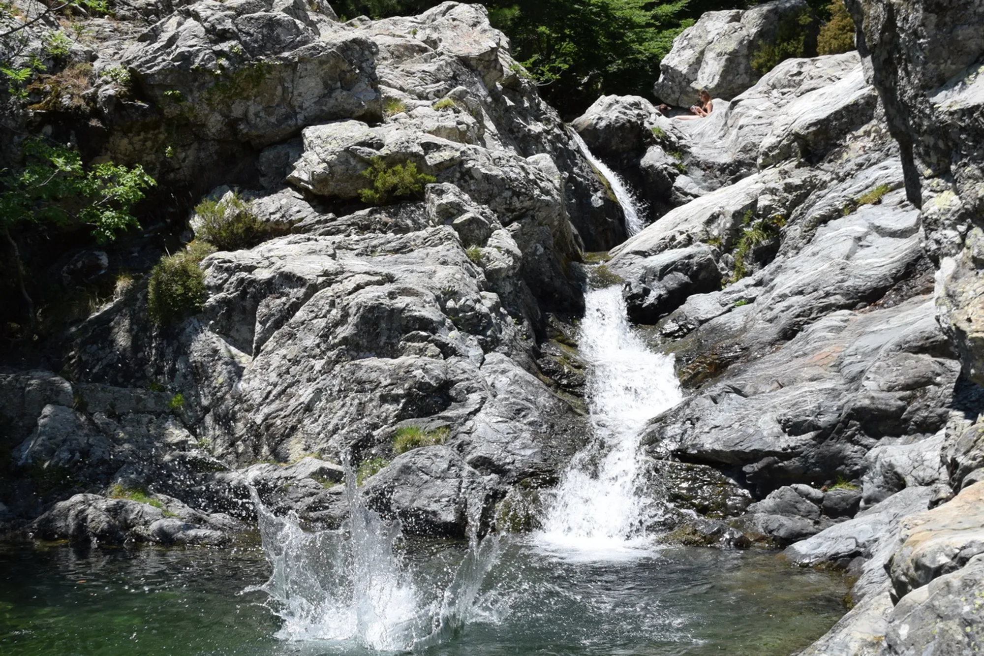
The Cascade des Anglais, on the Agnone (Vivario)
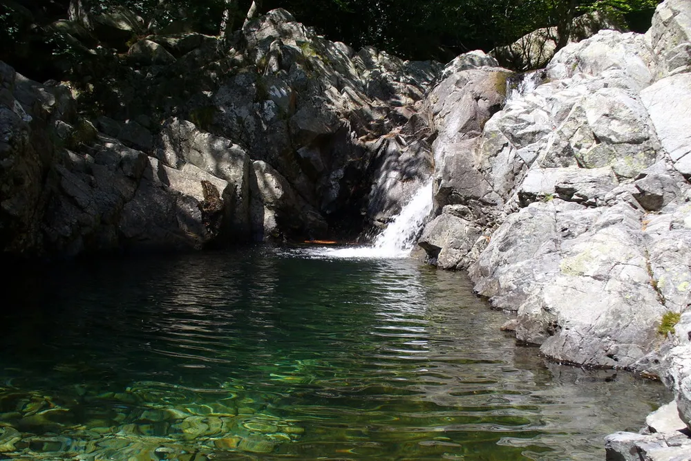 Photo : jeffwarder, CC BY-SA 3.0, via Wikimedia Commons
In the Vizzavona forest, the Agnone comes down from Monte d’Oro in a string of waterfalls and pools, at an altitude of 1,092 m. You walk there from Vizzavona station, on the Ajaccio - Bastia line: about 1 hr 30 min return, 300 m of ascent, easy. No car needed: you get there straight off the train.
The water stays cold even in August. In spring, the flow is stronger and swimming is not advisable. In July and August, the pools close to the path are taken in the afternoon: arrive early. See the Cascade des Anglais and the Vizzavona forest.
Safety: floods, jumping and unsupervised swimming
A storm in the mountains can make the river rise within minutes, even under a blue sky where you are swimming. Check the weather forecast before you set off, watch the sky upstream, and get out of the water and the riverbed at the first rumble of thunder. Never cross a torrent in flood: wait on the higher bank.
During orange storm warnings, the prefectures can close access to rivers. In Haute-Corse, a prefectural order of 20 August 2026 banned access to watercourses and swimming throughout the department for the duration of the episode. Check the Météo-France weather warnings before you set off, and follow the signs and the instructions of the emergency services.
Do not jump or dive from the rocks without knowing the depth: the water level drops as the summer goes on, and a boulder may lie just below a dark surface. None of these pools has lifeguards. Keep children within arm’s reach, get into the water gradually and do not overestimate how well you swim.
Some sites are advised against because of water quality or safety. For the 2026 season, the ARS de Corse lists the spots where swimming is banned or permanently advised against, including the Genoese bridge of Spina Cavallu in Sartène, the Belfiore bridge in Vico and the Baliri bridge in Corte: check the ARS list before choosing a site that is not on this page. The canyons of the Bavella massif should be done with an instructor: see the Bavella needles.
In an emergency, call 112, the European emergency number, from any phone; 15 for the SAMU (emergency medical service), 18 for the fire brigade, 196 for sea rescue. There is no mobile signal in several valleys: tell someone where you are going.
When to go
From June to September is the river swimming season. In June and September, the sites are less crowded, and so is the Restonica shuttle. In spring, the torrents are in full flow: they are impressive to look at, but swimming in them is not advisable.
In July and August, the pools closest to the car parks are very busy in the afternoon. Come in the morning, or walk further along the river. In the morning, you also avoid the storms, which often break in the afternoon in the mountains.