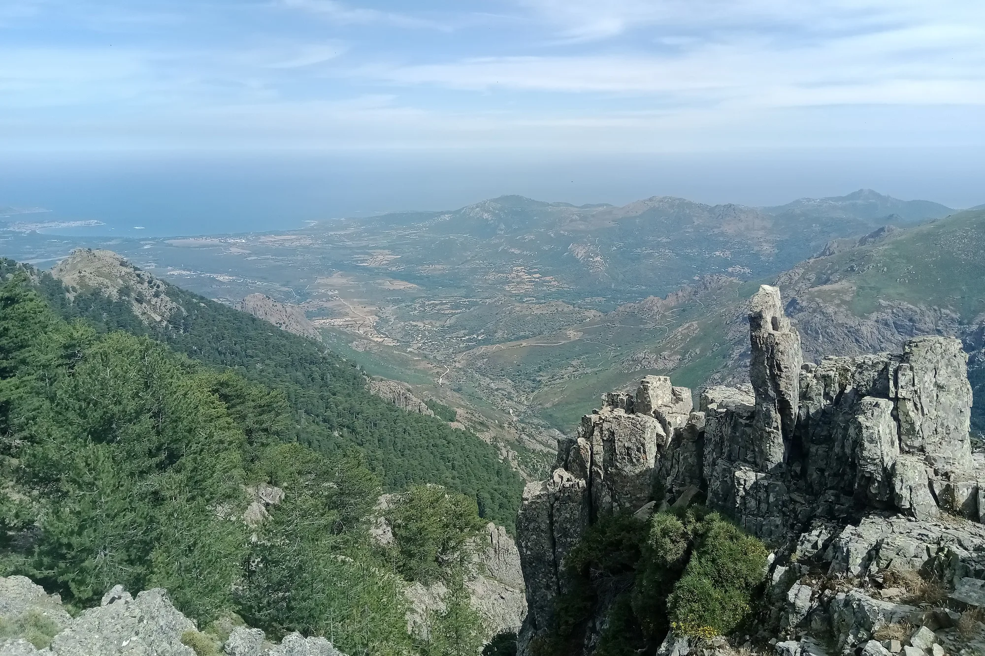
The GR20 crosses Corsica from north to south through the mountains, from Calenzana, in the Balagne, to Conca, above the east coast. It is managed by the Parc naturel régional de Corse (Corsica’s regional nature park), which maintains the trail and its refuges, and it is waymarked in red and white like all French long-distance trails (GR). The FFRandonnée, the French hiking federation, describes it as a route ‘of pronounced alpine character’: you often walk at around 2,000 m, with sections where you need to use your hands.
The GR20 has 16 stages and is about 200 km long, according to the park and the FFRandonnée. Vizzavona, halfway along, separates the northern section, from Calenzana to Vizzavona in 9 stages, from the southern section, from Vizzavona to Conca in 7 stages. It is also the only point on the route served by the train, so you can walk just one of the two halves.
This page uses the figures of the park and the FFRandonnée, and nothing else. Neither publishes the distance or the ascent of each stage, so we do not give them.
The 16 stages of the GR20
The walking times are those of the Parc naturel régional de Corse, for a fit walker, without breaks. The last column gives the time in the other direction, for those starting from Conca.
| Stage | Start | Finish | Time, north to south | Time, south to north |
|---|---|---|---|---|
| 1 | Calenzana | Ortu di u Piobbu | 6 hrs 30 min | 5 hrs |
| 2 | Ortu di u Piobbu | Carrozzu | 7 hrs | 5 hrs |
| 3 | Carrozzu | Ascu Stagnu | 6 hrs 10 min | 4 hrs 45 min |
| 4 | Ascu Stagnu | Tighjettu | 8 hrs | 8 hrs |
| 5 | Tighjettu | Ciottulu di i Mori | 4 hrs | 4 hrs |
| 6 | Ciottulu di i Mori | Manganu | 8 hrs | 8 hrs |
| 7 | Manganu | Petra Piana | 6 hrs 30 min | 6 hrs |
| 8 | Petra Piana | L’Onda | 4 hrs 50 min | 5 hrs 15 min |
| 9 | L’Onda | Vizzavona | 6 hrs 05 min | 6 hrs 40 min |
| 10 | Vizzavona | E Capanelle | 5 hrs 15 min | 4 hrs 50 min |
| 11 | E Capanelle | Prati | 6 hrs 10 min | 6 hrs |
| 12 | Prati | Usciolu | 5 hrs 45 min | 6 hrs 30 min |
| 13 | Usciolu | Cuscionu | 4 hrs 25 min | 5 hrs |
| 14 | Cuscionu | Asinao | 4 hrs 15 min | 4 hrs |
| 15 | Asinao | Paliri | 7 hrs | 7 hrs 20 min |
| 16 | Paliri | Conca | 5 hrs | 6 hrs 15 min |
The sixteen times from north to south add up to 94 hrs 55 min of walking, the same total as the FFRandonnée’s. According to the park, a few stages call for particular care:
- on stages 2 and 3, there is no water point along the way: set off with full bottles;
- stage 4, the longest along with the sixth, climbs nearly 1,200 m and has two or three sections fitted with chains and handrails. It has been the official route since the cirque de la Solitude was closed;
- stage 6 passes the shore of Lake Nino and its wet grasslands, the pozzines, where walking poles are banned;
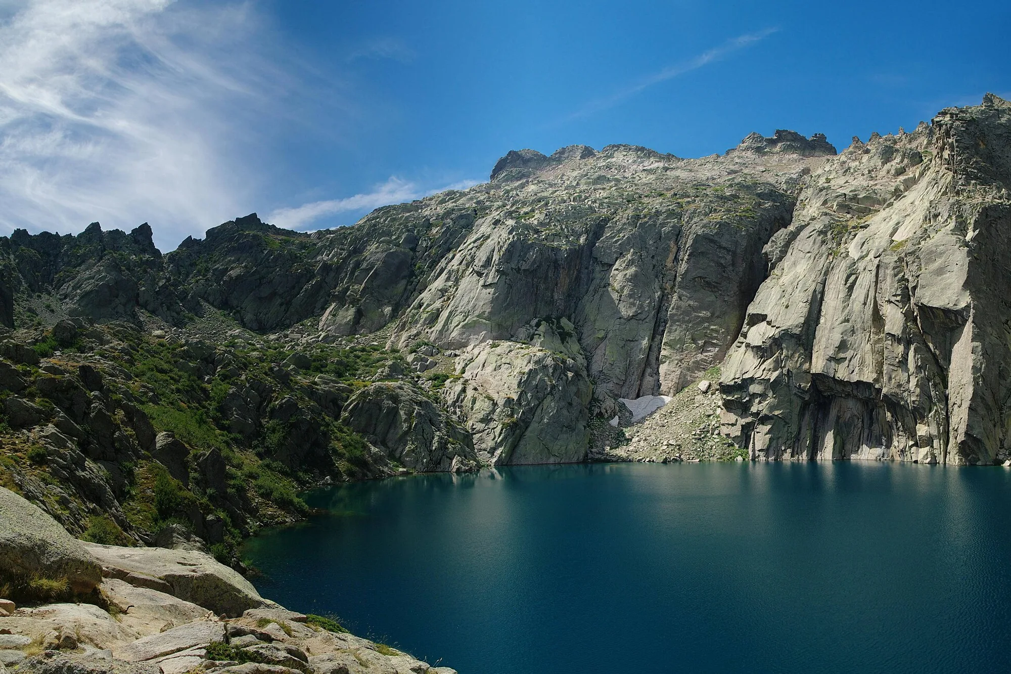
- stage 7 crosses the Capitellu gap, above the Melu and Capitellu lakes, which you can also reach from the Restonica valley. Early in the season, snowfields there may call for crampons, an ice axe and a rope;
- stage 9 descends to Vizzavona past the Cascade des Anglais;
- stage 13 crosses the Coscione plateau, where walking poles are also banned: there is no park refuge at the end of the stage, only shepherds’ huts and private gîtes;
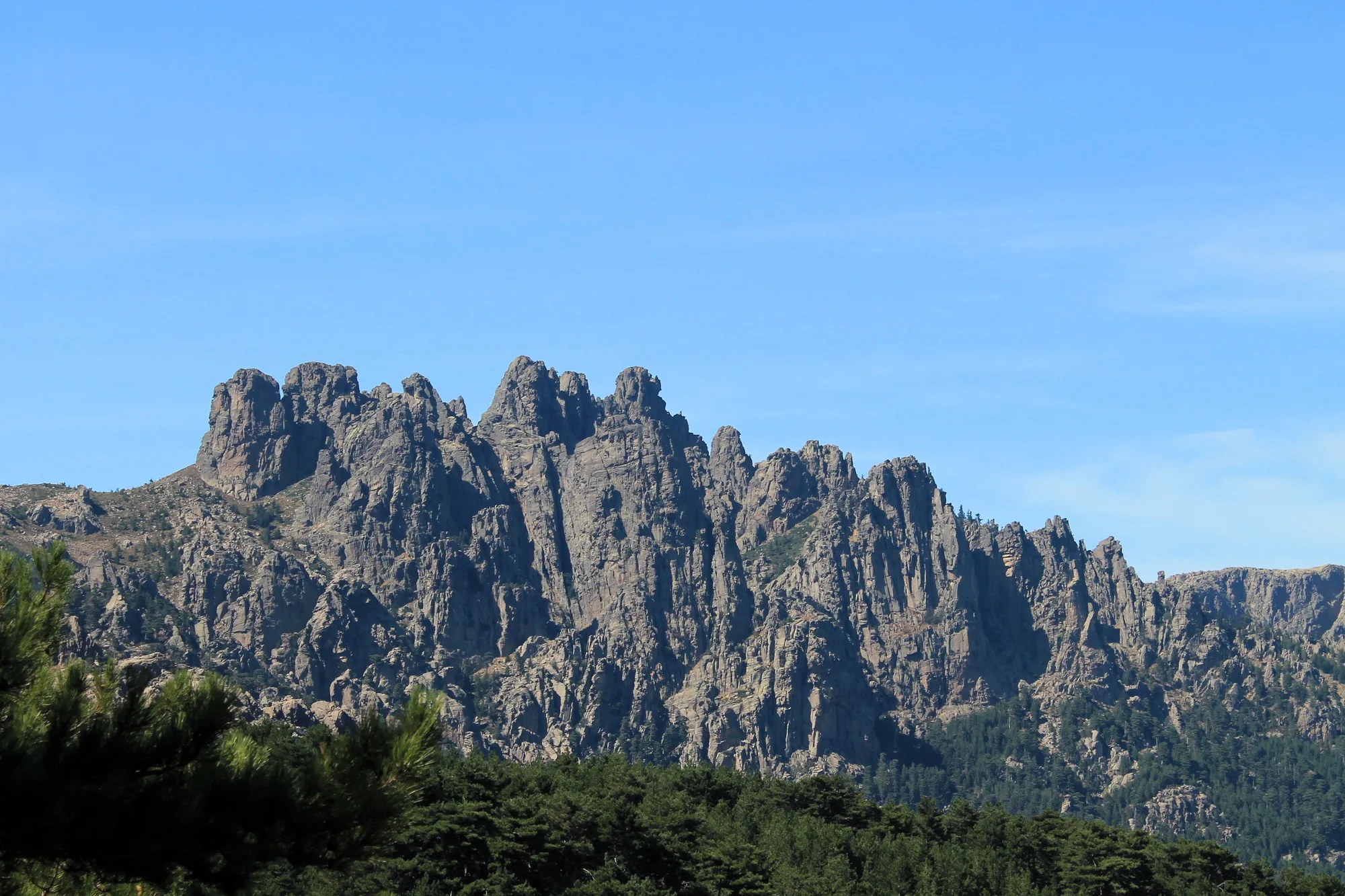
- stage 15 goes over the Bavella pass and offers an alpine variant through the Bavella Needles, more technical, with slabs fitted with handrails.
The park mentions two other variants. On stage 8, a ridge route waymarked in yellow, in settled weather only. On stage 14, a detour of about half an hour over the summit of the Alcudina.
The cirque de la Solitude is closed
The cirque de la Solitude, between Ascu and Tighjettu, was the scene of a fatal accident on 10 June 2015, after rockfalls and in heavy rain. The park removed the waymarks and equipment, and access to the site is banned by prefectural and municipal order. The diversion opened after the accident has become the official route of the GR20.
Doing part of the GR20: north or south
You can walk just the northern section, from Calenzana to Vizzavona, or just the southern section, from Vizzavona to Conca. The park describes the north as the more technical and the harder on the legs. In the south, stages 10 and 11 have no particular technical difficulty, and the park writes that nothing there compares with the difficulty of the north.
At Vizzavona, the train links the station with Ajaccio and Bastia, via Corte. Other points on the route can be reached by road, to start or stop earlier: the Haut-Asco resort at the end of stage 3, Castel di Verghju during stage 6, the E Capanelle resort, the col de Verde and the col de Bavella. The park advises against doubling up stages, and a refuge booking not changed 48 hours ahead is lost if you change your plans.
For a single day on the GR20, without a multi-day pack, the section between Vizzavona station and the Cascade des Anglais or the paths around the col de Bavella are the easiest to reach.
Refuges and bivouacking
The park runs 12 refuges on the GR20, staffed in 2026 from 16 May to 4 October. During this period, you must book your night through the park’s booking centre{official}, whether you sleep in a dormitory or in a tent. With your own tent, you need to book one bivouac pitch per person. The dates for the 2027 season have not yet been published.
In 2026, according to the park’s terms of sale, a night in a dormitory costs €20, a bivouac pitch €12, and a hired tent with its pitch €27 for one person or €39 for two. Meals are ordered on site and paid in cash or by cheque: the park reckons on an average of €50 a day for breakfast, a packed lunch and dinner. Arrive before 6 pm to book your evening meal.
Each refuge has a bivouac area, a small shop, showers, dry toilets and an outdoor kitchen. The Ortu di u Piobbu and Asinau refuges have no dormitory: you sleep in a tent. At Vizzavona, at E Capanelle and on the Cuscionu plateau, there is no park refuge, only private accommodation.
Wild camping is banned along the whole route: you may only pitch a tent near the refuges, in the designated areas. Dogs are banned from the refuges and hired tents, and the park strongly advises against taking them.
When to go and how fit you need to be
The refuges are staffed from mid-May to early October, and the FFRandonnée recommends the period from June to mid-October. In early summer, snowfields may still cover some sections in the north: the park then recommends crampons, an ice axe and a rope. Even in high summer, violent storms break out in the mountains. Turn back when the weather deteriorates, and check the Météo-France mountain forecast{public} before each stage.
The GR20 is not a hike for beginners. You should already be used to walking several days in a row with a pack; do not set off alone, tell someone your route and stay on the waymarked trail. The park publishes a list of what to carry: sleeping bag, rain jacket, warm clothing, first aid kit, survival blanket, head torch, filter bottle, mountain boots and the FFRandonnée topoguide.
The phone network is unreliable along the whole route, and calls are impossible or patchy near several refuges.
Fire risk in summer
From 15 June to 30 September, lighting fires and smoking are banned in forests and the maquis. On days of very severe risk, the prefecture can close access to the mountains: in Haute-Corse, the 2026 order covered in particular the Ortu di u Piobbu, Carrozzu, Ascu, Onda and Petra Piana refuges, as well as Vizzavona station. In Corse-du-Sud, the prefecture closed the Bavella and Illarata massifs in July 2026. The fire risk map{public}, published by the State services, is updated at 6 pm for the following day: check it every evening.
If an order closes a massif, the park refunds the nights and the refuges concerned.
Getting to the start and leaving
In Calenzana, no departures on the GR20 are allowed after 11 am, by municipal order. The simplest option is to sleep in the village the night before: our listings for Lumio and Calenzana and those for Calvi cover that night. On the Balagne line of the Chemins de fer de la Corse (Corsican railways), the timetable includes a stop called ‘U Fiumeseccu Alzeta (GR20)’, between Calvi and Lumio. For timetables, see our page on trains in Corsica and the operator’s website.
At the finish, in Conca, the park mentions an on-demand shuttle to Sainte-Lucie-de-Porto-Vecchio and Porto-Vecchio, with no published timetable. For the following night, see our hotels in Porto-Vecchio. If you stop at Vizzavona, Corte is on the same train line.
Safety
In an emergency, call 112, the European emergency number, from any phone; 15 for the SAMU (emergency medical service), 18 for the fire brigade, 196 for sea rescue. Before you set off, check the Météo-France mountain forecast{public}, and once there, ask the refuge wardens for advice.