“North or south Corsica?” The question comes up as soon as you plan a first trip, and it is a fair one: the island is mountainous, and crossing it takes two to three hours by road. Over a week, you are better off choosing one half and sticking to it. Here is what really changes from one to the other, then which half to choose for the way you travel.
Where is the line between north and south?
Administratively, the island has had two departments since the law of 15 May 1975: Haute-Corse (code 2B), with its prefecture in Bastia, and Corse-du-Sud (code 2A), with its prefecture in Ajaccio. Since 2018 the Collectivité de Corse (the island’s regional authority) has exercised their powers, but the two departments remain administrative districts of the French state, each with its own prefect. In Corsican, the north is Cismonte and the south Pumonti: the land “this side” and “beyond” the mountains.
The boundary roughly follows the mountain chain that runs across the island from north-west to south-east. On the road and the railway from Ajaccio to Bastia, you cross it at the Col de Vizzavona: to the north, Vivario is in Haute-Corse; to the south, Bocognano is in Corse-du-Sud.
 Photo : Rémih, CC BY-SA 4.0, via Wikimedia Commons
The division holds a few surprises. Ajaccio is in Corse-du-Sud, as is the Gulf of Porto: Piana, Girolata and the Scandola reserve (in the commune of Osani) are in the south, even though boats for Scandola and Girolata also leave from Calvi. Conversely, Corte, in the centre, is in Haute-Corse, as is Monte Cinto, the island’s highest peak. On this page, “the north” therefore means Haute-Corse (Cap Corse, Bastia, the Nebbiu, the Agriates, the Balagne, Corte), and “the south” means Corse-du-Sud (the Ajaccio area, the Gulf of Porto, the Valinco, the Sartenais, the far south and the Alta Rocca).
The comparison at a glance
| North (Haute-Corse) | South (Corse-du-Sud) | |
|---|---|---|
| Towns | Bastia, Calvi, Corte, L’Île-Rousse, Saint-Florent | Ajaccio, Porto-Vecchio, Bonifacio, Propriano, Sartène |
| Scenery | Cap Corse, Agriates desert, Balagne villages, high valleys around Corte | Bonifacio cliffs, Calanques de Piana, Scandola, Bavella needles |
| Beaches | Agriates beaches with no road, long beaches at Calvi and L’Île-Rousse | big pale-sand beaches around Porto-Vecchio and Bonifacio, sheltered coves |
| Hiking | northern half of the GR20, Restonica, Cap Corse path | southern half of the GR20, Bavella, Coscione, Girolata path |
| Airports | Bastia Poretta, Calvi Sainte-Catherine | Ajaccio Napoléon Bonaparte, Figari Sud Corse |
| Ferry | Bastia (France and Italy), L’Île-Rousse; daytime crossings from Nice and Italy | Ajaccio, Propriano, Porto-Vecchio; Bonifacio linked to Sardinia |
| Train | Bastia, Corte, L’Île-Rousse, Calvi | Ajaccio and Bocognano, nothing in the far south |
| Summer (Météo-France normals) | 29.8 °C in Bastia and 30.2 °C in Calvi in August, more rain in autumn on the east coast | 29.2 °C in Ajaccio and 31.7 °C in Figari in August; far south the busiest |
Scenery
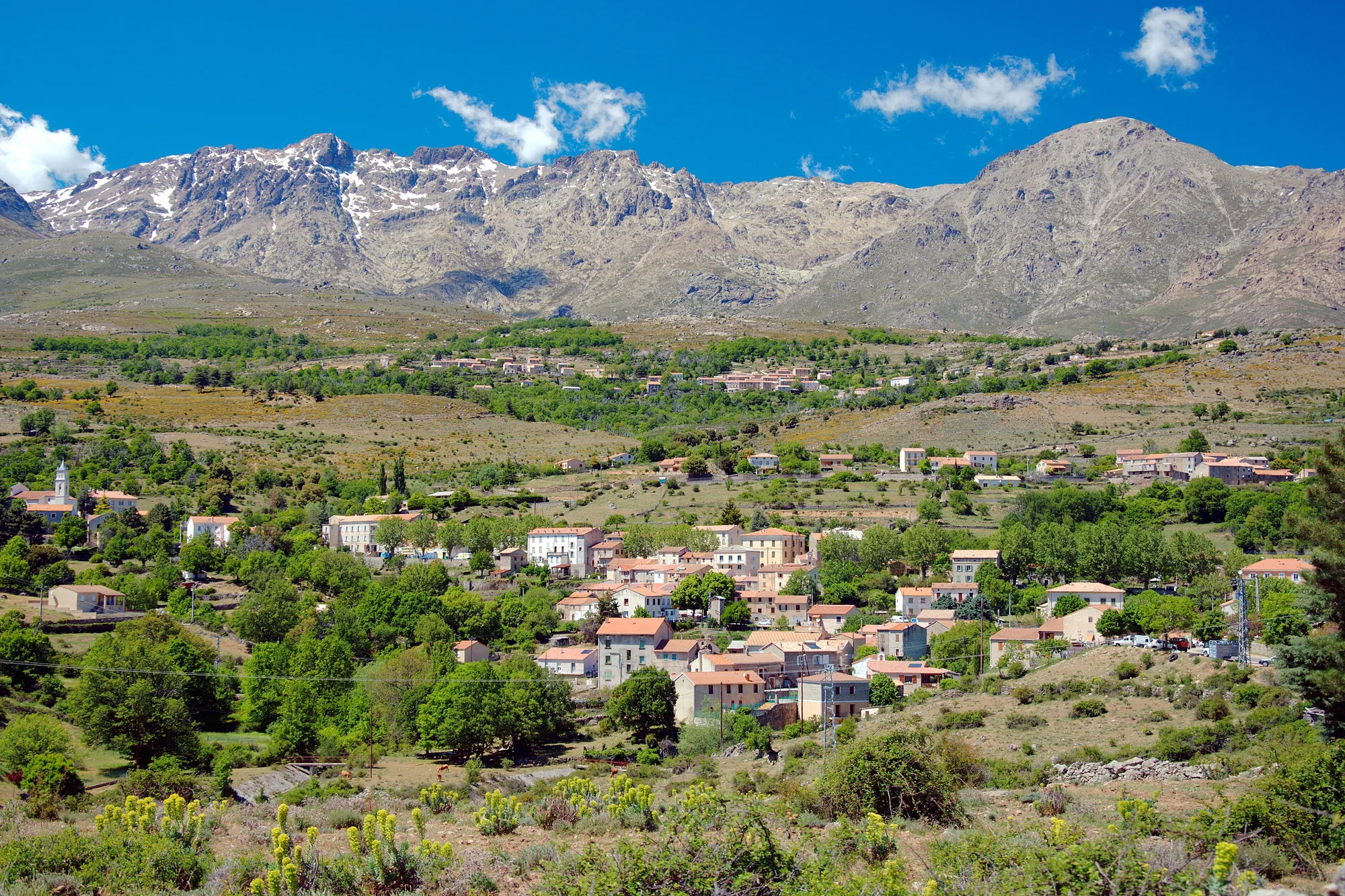
The north means first of all Cap Corse, with its marinas at the water’s edge and its villages perched above the cliffs, then the Agriates desert, hills of maquis with no tarmac road down to the sea. Behind Calvi, the villages of the Balagne sit on the hillsides. In the centre, around Corte, the high mountain valleys begin: the Restonica and its lakes, and the Scala di Santa Regina towards the Niolu.
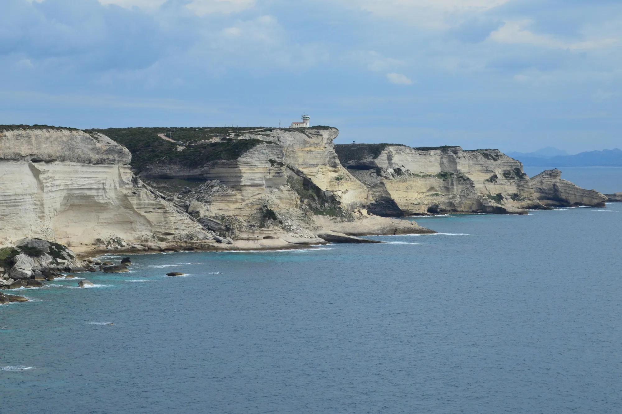
The south lines up very different landscapes: the white limestone cliffs of Bonifacio, a rare rock on an island that is mostly granite, the Calanques de Piana and the Scandola reserve in the Gulf of Porto, the Roccapina lion and, inland, the Bavella needles, which you can drive up to.
Beaches
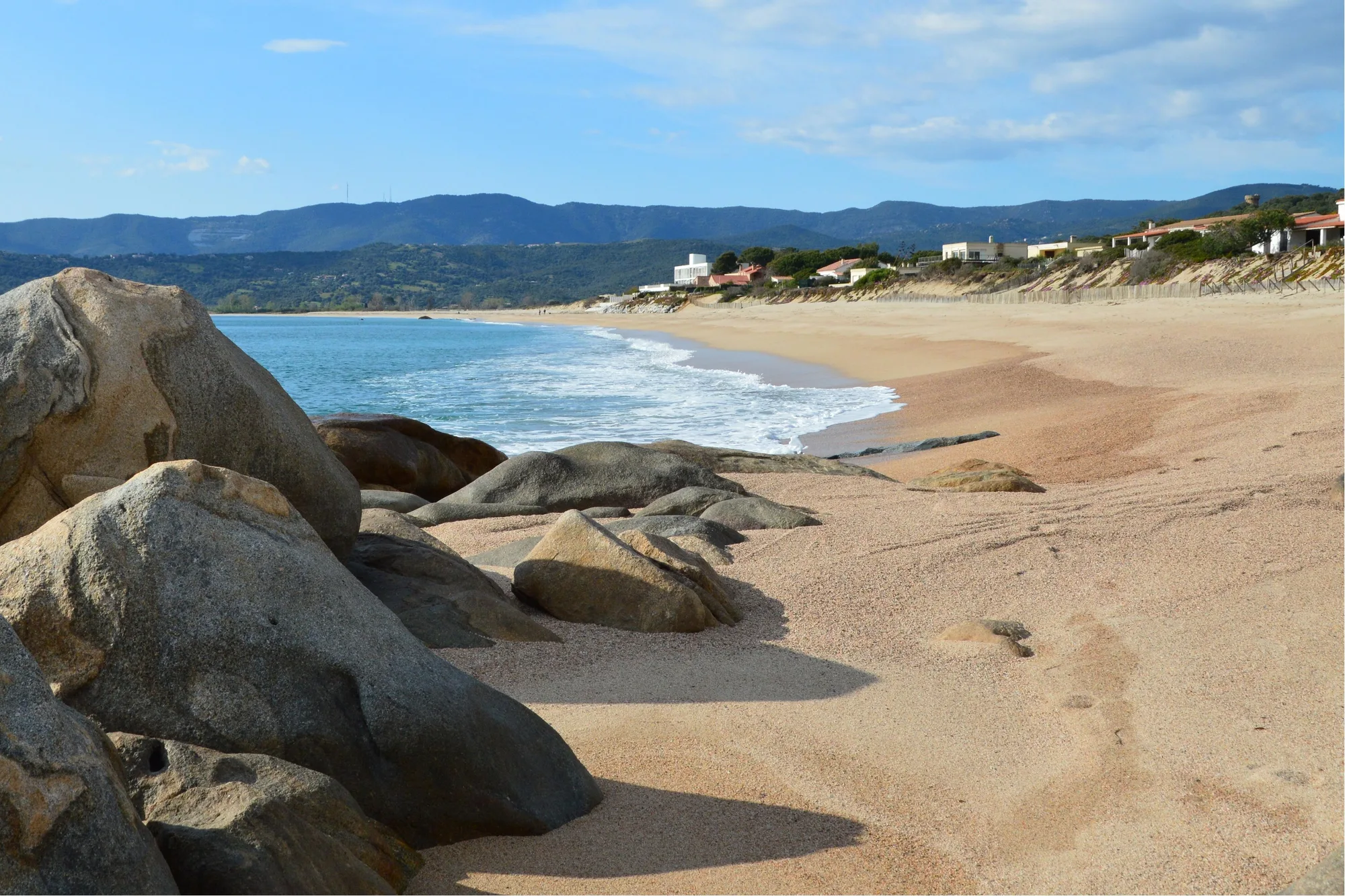
The beach is often what decides it. In the south, big pale-sand beaches follow one another: Palombaggia, Santa Giulia and Pinarello around Porto-Vecchio, Rondinara and Petit Sperone towards Bonifacio. In between, the southern coast also has plenty of coves. See the best beaches of Porto-Vecchio and those of Bonifacio.
The north has long town beaches and remote beaches with no road. Saleccia and Lotu, in the Agriates, are reached by boat from Saint-Florent, by 4x4 or on foot. In the Balagne, Calvi’s beach stretches for nearly 4 km below the town, and L’Île-Rousse has its own right in the centre. On Cap Corse, Nonza has a black sand beach and Barcaggio a wild beach at the tip. See the beaches of the Agriates.
Towns and heritage
In the north, Bastia keeps its citadel, its Baroque churches and its Old Port. Corte was the capital of Pascal Paoli’s independent Corsica, and you can visit the citadel and the Musée de la Corse. Calvi has its Genoese citadel, and Saint-Florent the Nebbiu cathedral, with the Patrimonio vineyards next door.
In the south, Ajaccio, the island’s largest town, has the Bonaparte house and the Fesch palace. Sartène leads to the megaliths of Cauria; Propriano to the Filitosa site and its statue-menhirs. Bonifacio’s upper town is explored on foot, and the Alta Rocca museum, in Levie, displays the Dame de Bonifacio (the Lady of Bonifacio, a prehistoric skeleton).
Getting there: plane, ferry and train
There are two airports on each side: Bastia Poretta and Calvi Sainte-Catherine in the north, Ajaccio Napoléon Bonaparte and Figari Sud Corse in the south. All four have year-round flights to Paris-Orly, Marseille and Nice, with extra routes in season. Choose the airport closest to where you are staying. See flying to Corsica.
By sea, crossings to the north are shorter. In October 2026 the companies listed about 6 hours from Nice to Bastia or L’Île-Rousse, by day, and 4 to 4½ hours from Livorno (Livourne) to Bastia. In the south, crossings from Marseille to Ajaccio, Propriano or Porto-Vecchio take 12 to 14 hours, overnight; Toulon to Ajaccio takes 9 hours by day. Bonifacio is linked only to Sardinia. See the ferry crossing.
The train serves only the north and the centre, plus Ajaccio: the Chemins de fer de la Corse link Bastia with Ajaccio via Corte and Vizzavona, and Ponte-Leccia with Calvi via L’Île-Rousse. Porto-Vecchio, Bonifacio and Sartène have no service. See the train in Corsica.
Season, climate and crowds
Contrary to a common belief, the north is not cooler than the south. The Météo-France 1991-2020 normals give similar average August highs (29.2 °C in Ajaccio, 29.8 °C in Bastia, 30.2 °C in Calvi), and it is Figari, in the far south, that has the hottest summer afternoons, at 31.7 °C. The difference shows in autumn: Bastia and the east coast get much more rain (126 mm in October, against 86 mm in Ajaccio).
For both halves, the best months are still May, June, September and early October. In July and August, the far south is the hottest and busiest part of the island: get to the beaches and mountain car parks early. See when to go to Corsica and the climate in Corsica.
What about the budget?
We found no published price comparison between Haute-Corse and Corse-du-Sud. What weighs on the budget, on either side, is the date: crossings and accommodation cost less outside July and August. Transport counts too: for a family on a two-week trip, taking your own car on the ferry often works out cheaper than a flight followed by car hire.
North or south: which suits you?
With children
The south has calm bays: Santa Giulia, enclosed and very shallow, or Pinarello. But it is also the hottest and busiest region in high summer. In the north you can do without a car some of the time: in Calvi and L’Île-Rousse the beach is in town, and the Balagne train runs along the coast to the nearby beaches; Lozari beach shelves gently. For a first taste of the mountains with children, the Cascade des Anglais is three quarters of an hour’s easy walk from Vizzavona station.
For hiking
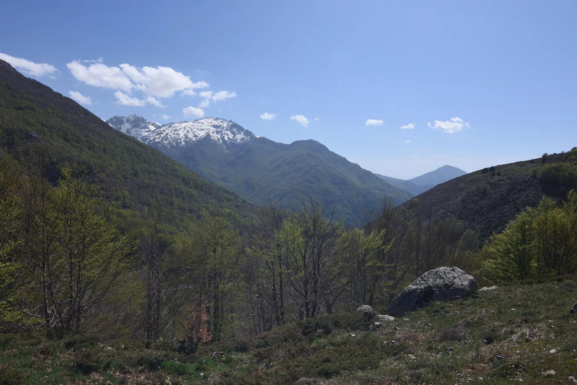
The GR20 crosses both halves, from Calenzana, in the Balagne, to Conca, north of Porto-Vecchio; Vizzavona marks the halfway point. For day walks, the north has the Restonica lakes (shuttle bus from Corte from May to September, booking required), the Cap Corse coastal path between Macinaggio and Centuri, and the Agriates path. The south has Bavella, the Coscione plateau and the path to Girolata, a hamlet with no road.
For beaches
The south, if you are looking for big pale-sand beaches with calm water, from Porto-Vecchio to Bonifacio. The north suits those who prefer a beach reached by boat or on foot, as in the Agriates.
For culture
The north, to follow the history of Paoli’s Corsica: Corte and its museum, Bastia and its churches, the citadels of Calvi and Saint-Florent. The south, for Napoleon in Ajaccio and for prehistory, from Filitosa to the megaliths of the Sartenais.
Why not both?
With ten days or more, nothing stops you arriving at one airport and leaving from the other. Allow 2½ hours by road between Bastia and Porto-Vecchio, and 2 hours 15 minutes between Bastia and Ajaccio, outside summer and without stops (OSRM calculation). Our itineraries show how to divide up the stages: Corsica in 10 days and Corsica in one week. To go further into each half, see what to do in South Corsica and Haute-Corse.