01 Read the visitor guide →
Saleccia beach
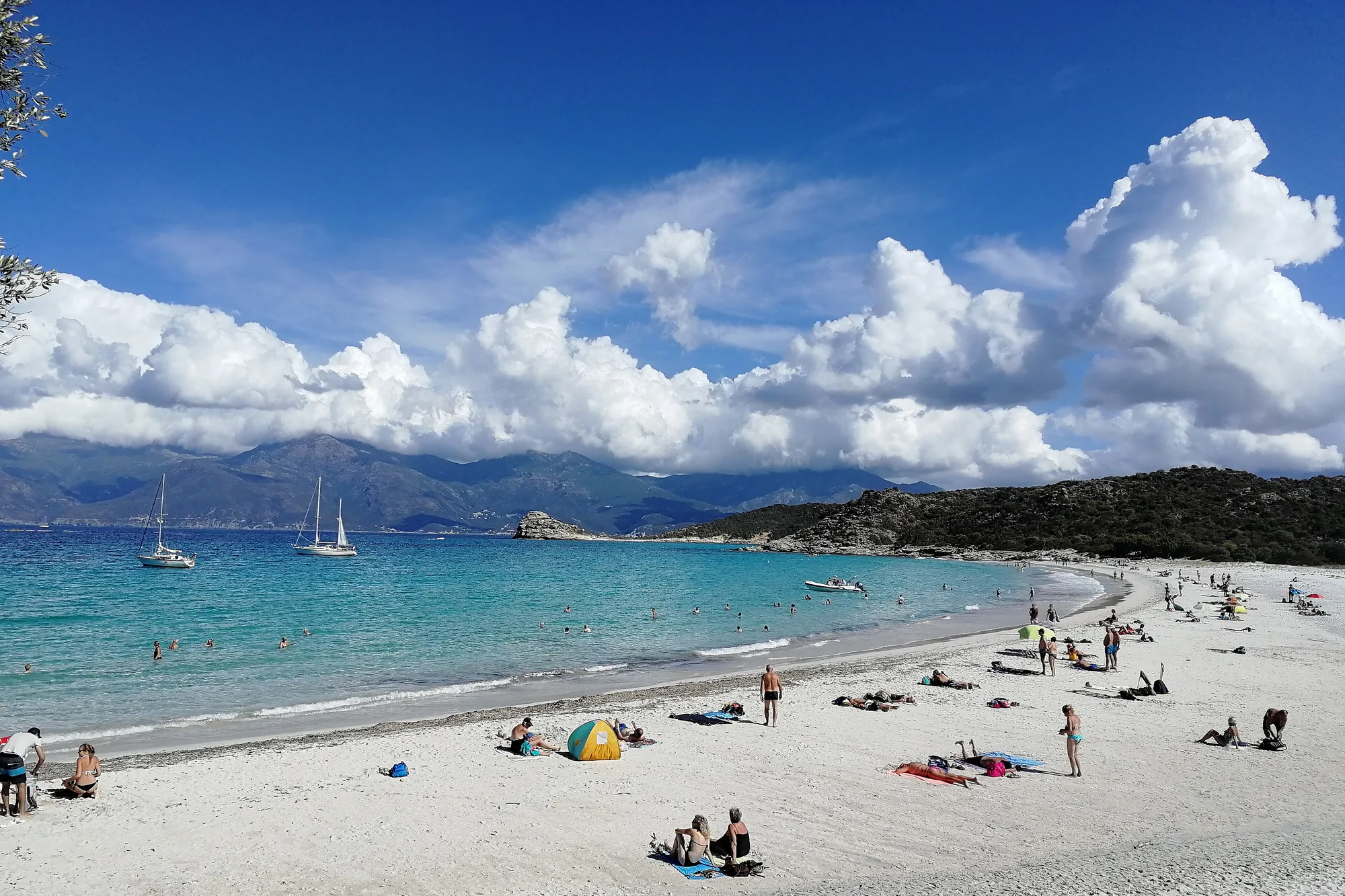
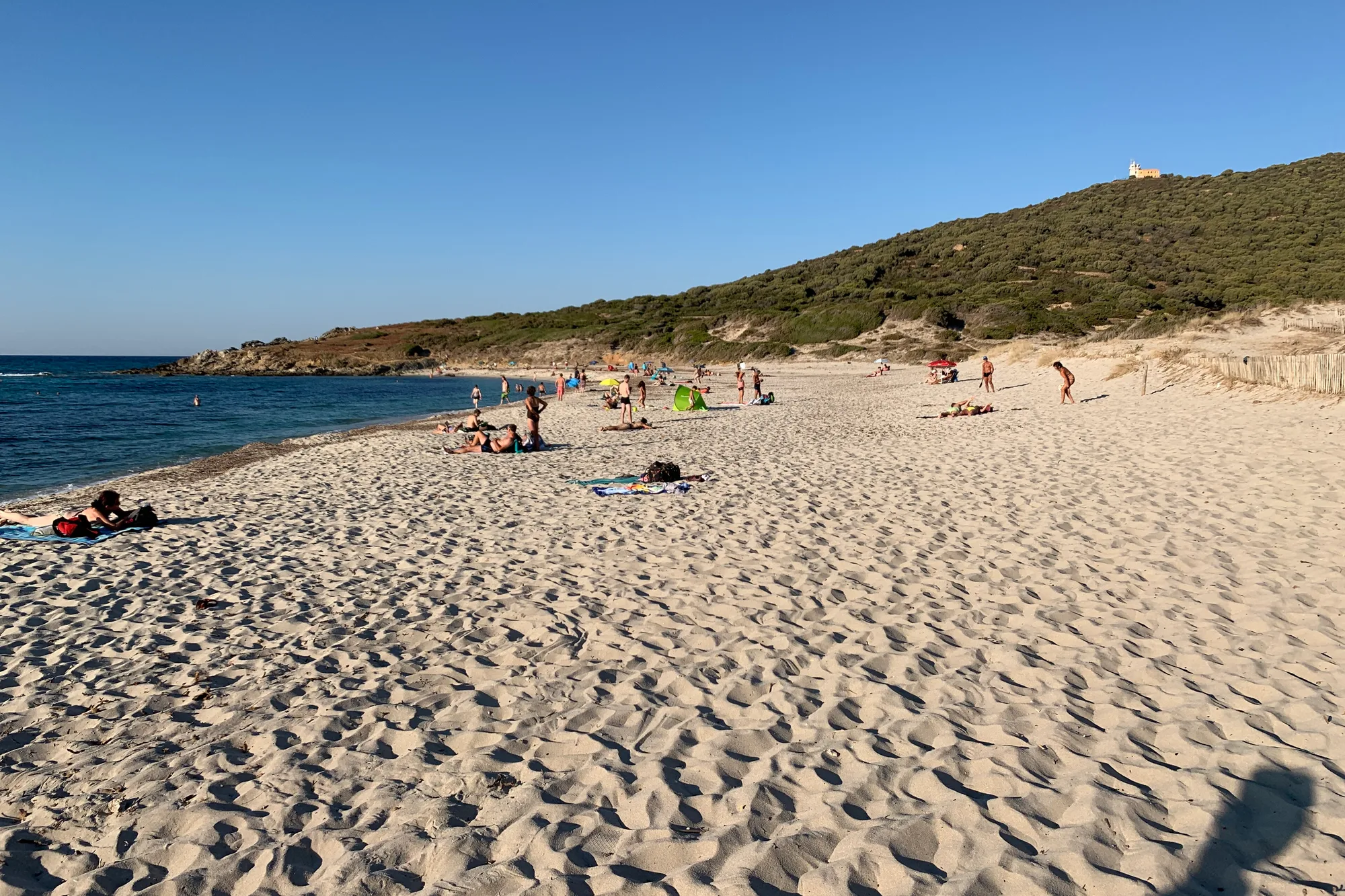
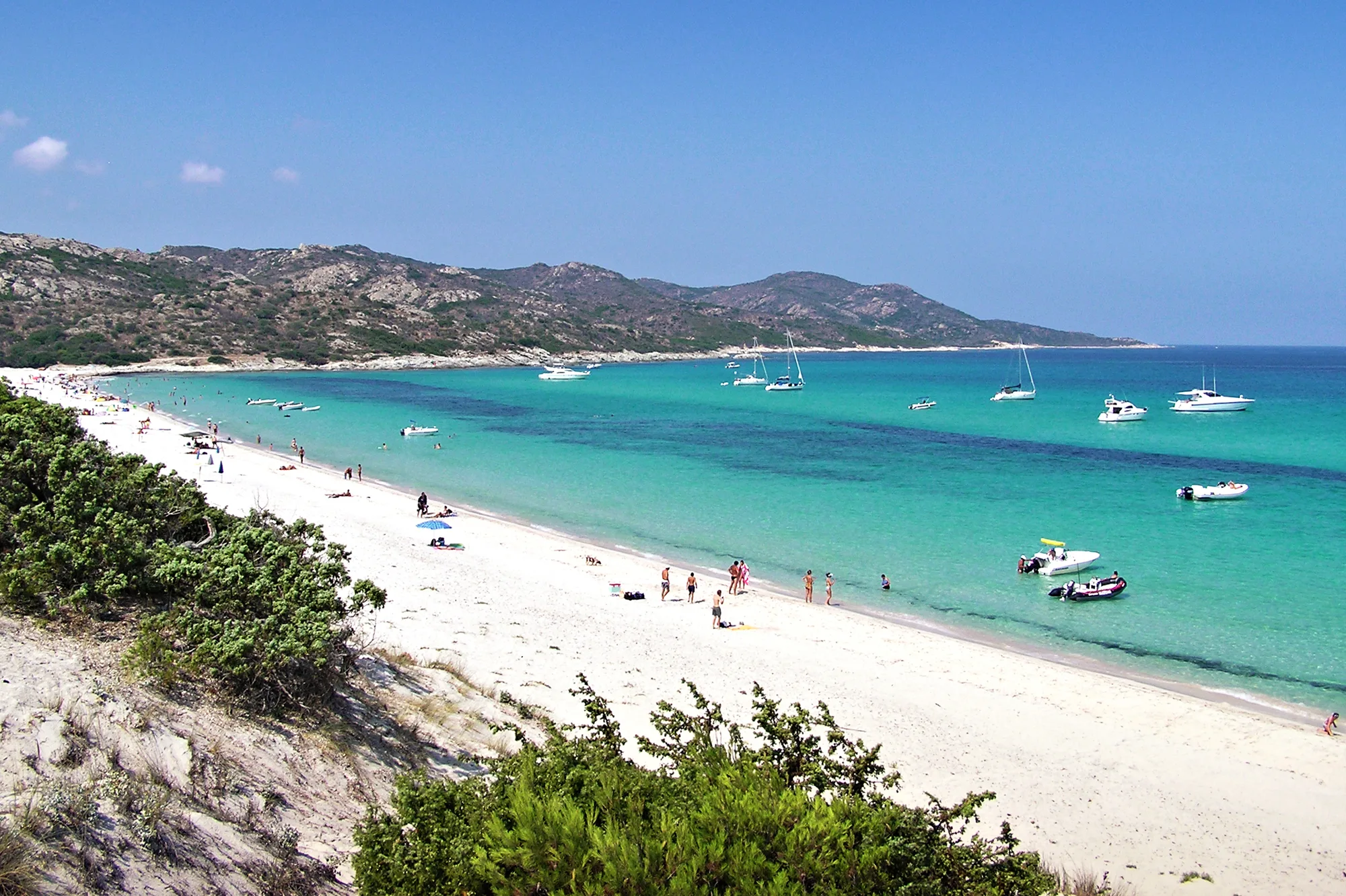
The big beach of the Agriates: just over a kilometre of white sand, with no tarmac road and no building in sight. You get there by 4x4 track, by boat from Saint-Florent or on foot, for the day.

From Cap Corse to the Restonica lakes, north Corsica in five regions: what to see, the beaches, driving times and where to base yourself.
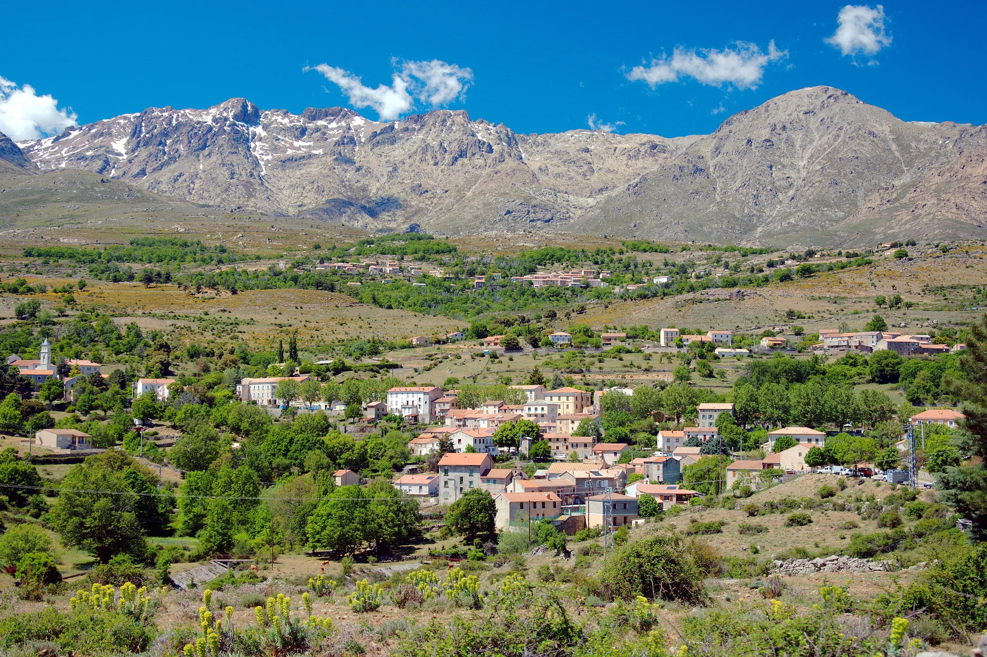
Haute-Corse is the department in the north of the island, the part people usually call north Corsica. Its official code is 2B, its prefecture is Bastia, and it has 236 communes. It runs from the tip of Cap Corse to the peaks of the Niolu, and from the Balagne, in the west, to the east coast around Aléria.
People come here for variety rather than for big beaches: Genoese citadels, hill villages, a desert of maquis by the sea, mountain valleys and their river pools. Here are its five regions, with links to the page for each town and site. For the other half of the island, see South Corsica; to choose between the two, our comparison north or south Corsica.
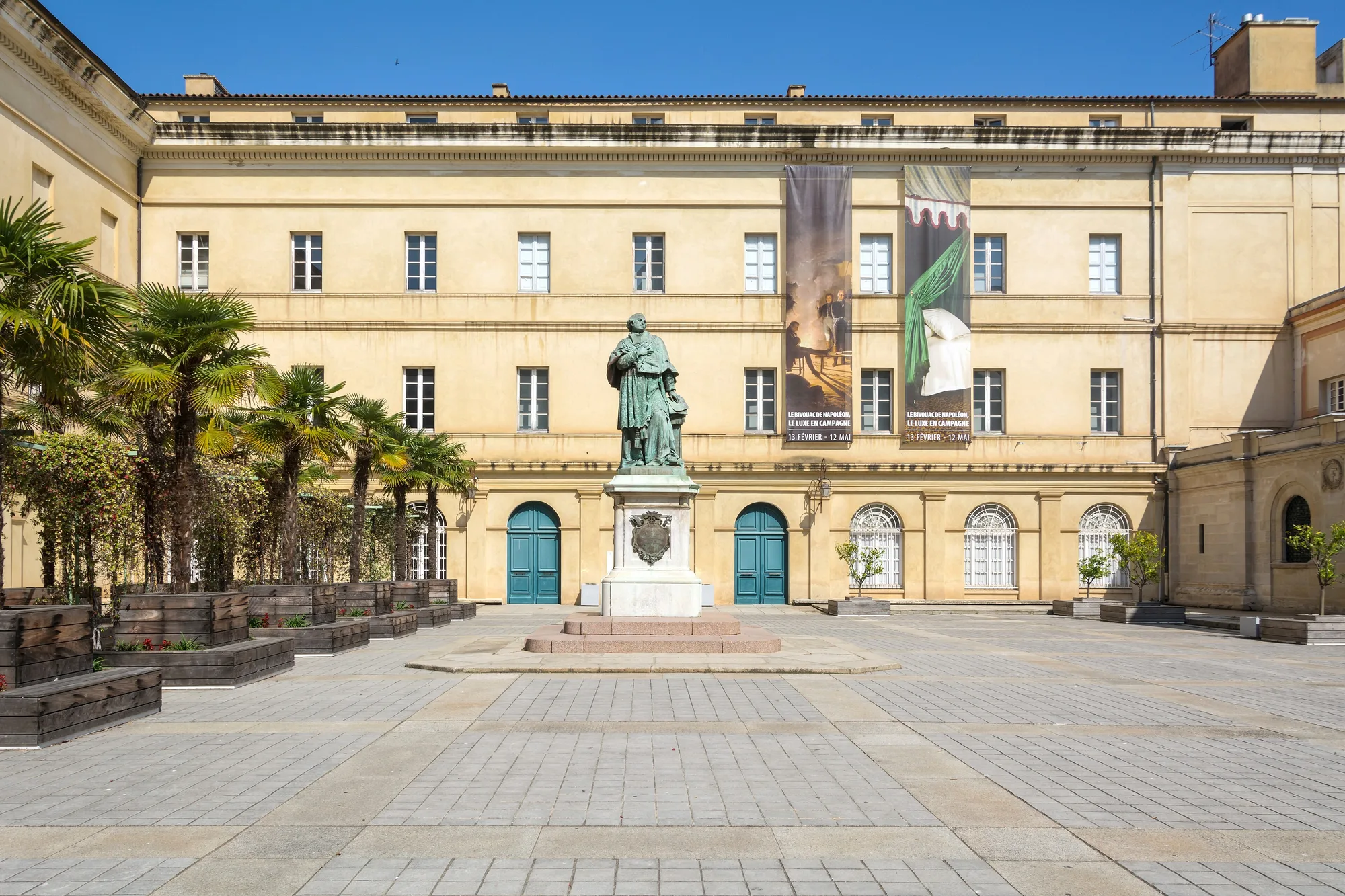
Bastia is the gateway to the north, with its port and its airport. The town is best seen on foot: Place Saint-Nicolas, the Old Port and the lanes of Terra Vecchia, then the citadel of Terra Nova, where the Governors’ Palace houses the town museum. To the south, Marana beach runs for nearly 15 km of sand between the Biguglia lagoon and the sea.
North of the town, Cap Corse takes a day by the D80: about 120 km and 2½ hours’ driving to Saint-Florent, outside summer and without stops. On the east coast there is the harbour of Erbalunga and Macinaggio, where the customs officers’ path starts; at the tip, Barcaggio beach, facing Giraglia; on the west coast, the harbour of Centuri, then Nonza on its spur, with its black pebble beach.
The drive round the Cape ends at Saint-Florent, at the head of its gulf, below a 15th-century Genoese citadel. Around it, the Nebbiu is wine country: the Nebbiu cathedral stands on the edge of town, and the Patrimonio estates welcome visitors for tastings.
To the west lies the Agriates desert: about 15,000 hectares of maquis with no tarmac road down to the sea, more than a third of it owned by the Conservatoire du littoral (the French coastal protection agency). Its beaches take some effort to reach. Lotu is about twenty minutes by boat from Saint-Florent; Saleccia can be reached by boat, by 4x4 track or on foot; Ostriconi, at the western entrance, is a quarter of an hour’s walk from the road. Take water and shade: there is almost nothing on site. All the beaches in the area are on our page beaches of the Agriates.
The Balagne holds the north-west coast, between the sea and villages perched on the hills. L’Île-Rousse, a town laid out in the 18th century on the initiative of Pascal Paoli, has its square shaded by plane trees, its covered market and the red granite island of Pietra. With its station and its port, it is the easiest base without a car. Its beaches, from Napoléon beach in the town centre to Lozari and Bodri, are on our page beaches of L’Île-Rousse.
Further west, Algajola comes down to a few lanes around a Genoese castle and a beach more than a kilometre long. Then comes Calvi: its citadel on the headland, its ramparts listed as a historic monument, its beach of nearly 4 km and, above the town, the chapel of Notre-Dame de la Serra, with a view over the whole bay. Between the two, the Balagne train stops right by beaches such as Sant’Ambroggio.
South-west of Calvi, Galéria and the Fango valley, a biosphere reserve, are still in Haute-Corse. Just over the boundary, in Corse-du-Sud: the Scandola reserve, Girolata, Porto and the Calanques de Piana. Boats for Scandola and Girolata leave from Calvi; by road, Porto is about 1½ hours from Calvi, outside summer and without stops, on a slow road.
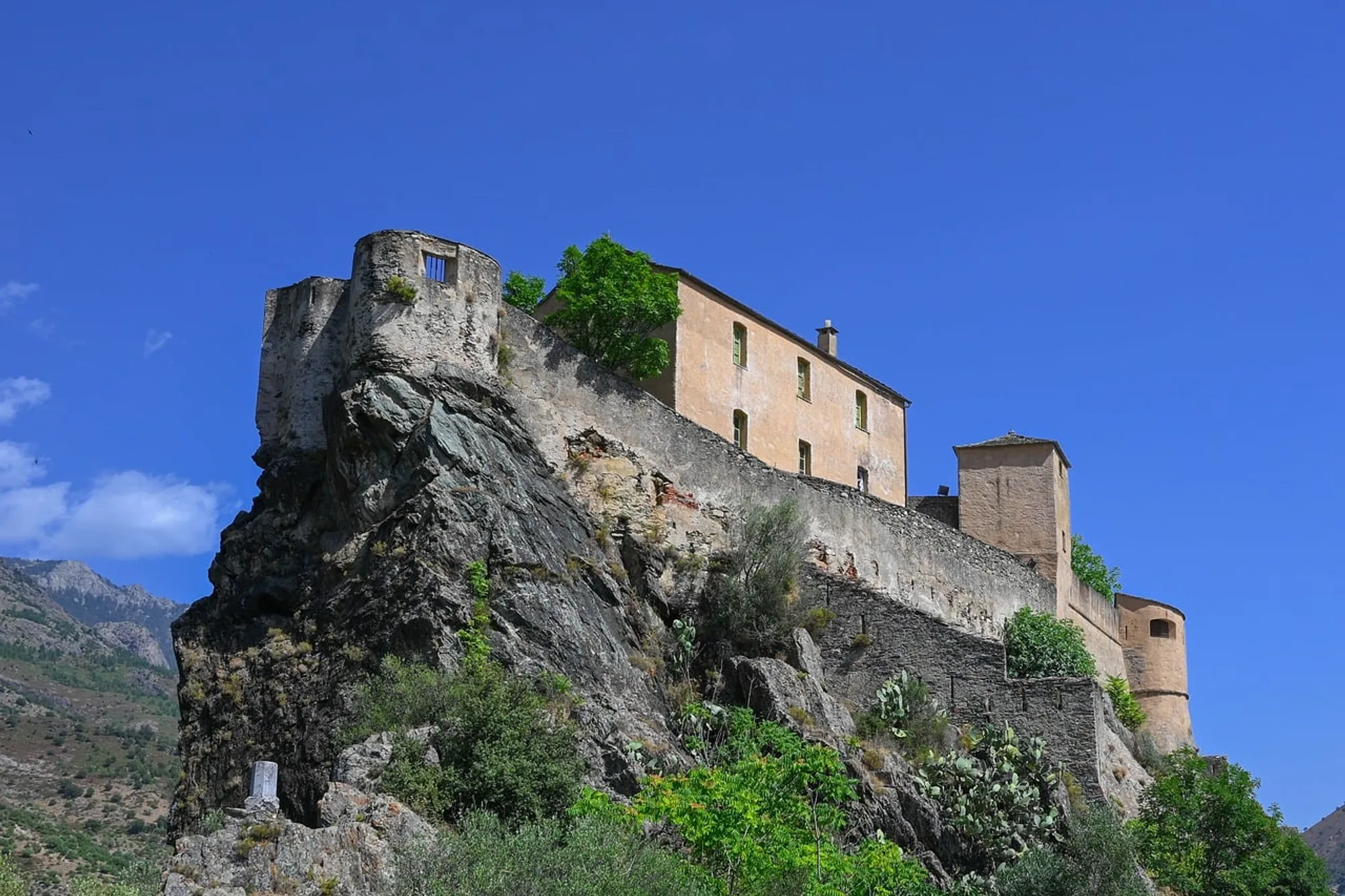
Corte was the capital of Pascal Paoli’s independent Corsica, from 1755 to 1769. Its citadel, perched on a spur, houses the Musée de la Corse, and the university town stays lively all year round. It is the best base for the mountains.
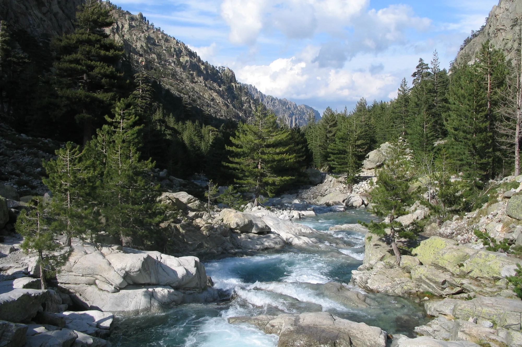
From Corte station, a shuttle bus runs up the Restonica valley from May to September: the road to the upper valley has been closed since the storms of November 2023. People come for the river pools and, on a full day’s walk, for the lakes of Melu and Capitellu. Below the citadel, you can walk up the Tavignano gorges from pool to pool.
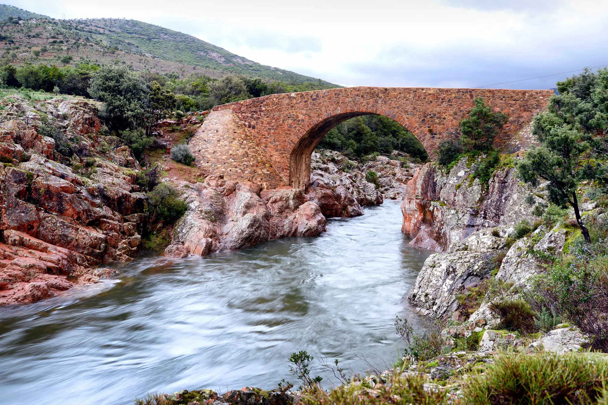
To the north-west, the Scala di Santa Regina climbs the red granite gorges of the Golo to the Niolu, Calacuccia and its reservoir. To the south, the Vizzavona forest and its laricio pines, on the railway line, lead to the Cascade des Anglais, a string of pools 1½ hours’ walk there and back from the station. Closer to Corte, below the Vecchio bridge, calm pools are a few minutes’ walk from the road. All these swimming spots are on our page on natural pools.
South of Bastia, the coast becomes almost straight, between the sea and the lagoons. After the Marana, people come here mostly for its history: at Aléria, the Jérôme-Carcopino archaeological museum, in the Matra fort, displays finds from the nearby ancient city. At Cervione, above the plain, a small museum tells the story of traditional life in the Castagniccia. See our museums in Corsica.
North Corsica is best explored by car, but the roads wind and journey times soon add up. OSRM calculation, outside summer and without stops:
| Route | Distance | Driving time |
|---|---|---|
| Bastia → Saint-Florent | 23 km | about 30 min |
| Saint-Florent → L’Île-Rousse | 46 km | about 45 min |
| L’Île-Rousse → Calvi | 24 km | about 30 min |
| Bastia → Calvi | 92 km | about 1 hr 45 min |
| Bastia → Corte | 70 km | about 1 hr |
| Corte → L’Île-Rousse | 62 km | about 1 hr |
| Corte → Calvi | 85 km | about 1 hr 30 min |
| Bastia → Aléria | 72 km | about 1 hr 15 min |
| Bastia → Macinaggio | 36 km | about 45 min |
In July and August, allow extra time: traffic slows down around the towns and on mountain roads.
Two bases are better than one: one on the coast, one in the mountains. Each destination has its own “Where to stay” section, area by area. For a night-by-night route, days 6 to 9 of Corsica in 10 days go through Bastia, Saint-Florent and Calvi.
With a car, Saint-Florent is in the middle of everything: Bastia is half an hour away, L’Île-Rousse three quarters of an hour, outside summer and without stops, and the Agriates boats leave from the harbour. You can see Cap Corse and the Balagne without changing hotel. Bastia suits you if you arrive by ferry or plane, for the Cape and the east coast. To walk the customs officers’ path and see the tip at your own pace, stay on Cap Corse, in Macinaggio or Centuri.
Without a car, choose L’Île-Rousse or Algajola: the station, the beaches and the Agriates boats are close at hand. Calvi adds the citadel, the long beach and boat trips to Scandola. For the mountains, keep two or three nights for Corte: the Restonica, the Tavignano and the Niolu are close by.
Updated 2 November 2026
A selection, from Cap Corse to the Balagne; each beach has its own page with access details and tips.
The big beach of the Agriates: just over a kilometre of white sand, with no tarmac road and no building in sight. You get there by 4x4 track, by boat from Saint-Florent or on foot, for the day.
The Agriates beach closest to Saint-Florent, about twenty minutes away by boat: some 400 m of white sand facing Cap Corse. No drinking water and no shade provided.
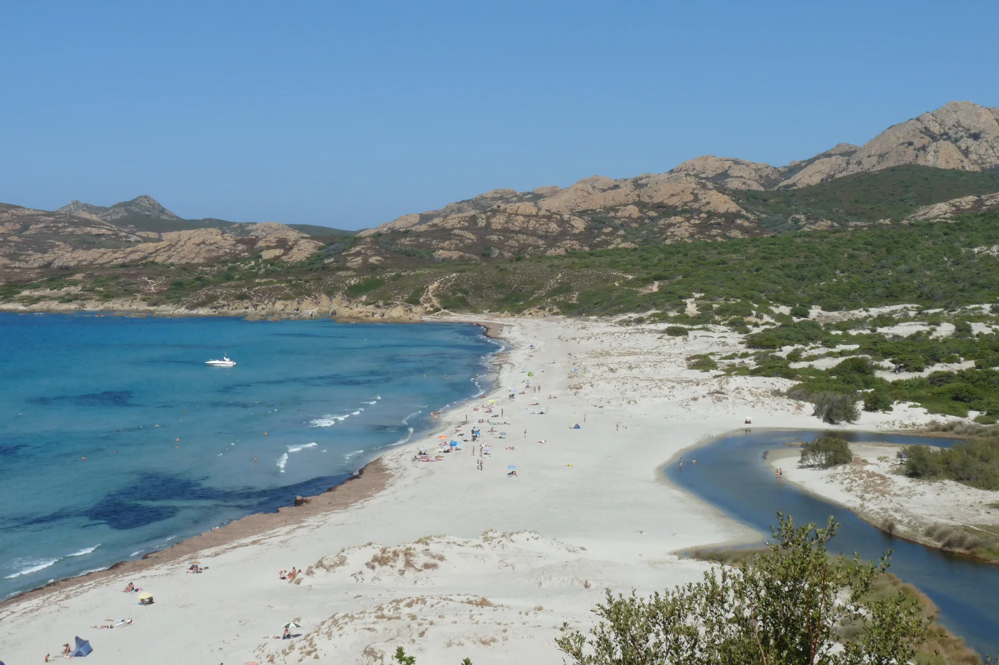
At the western entrance to the Agriates, about 800 m of fine sand between the river mouth, the lagoon and the dunes, a quarter of an hour’s walk from the old road.
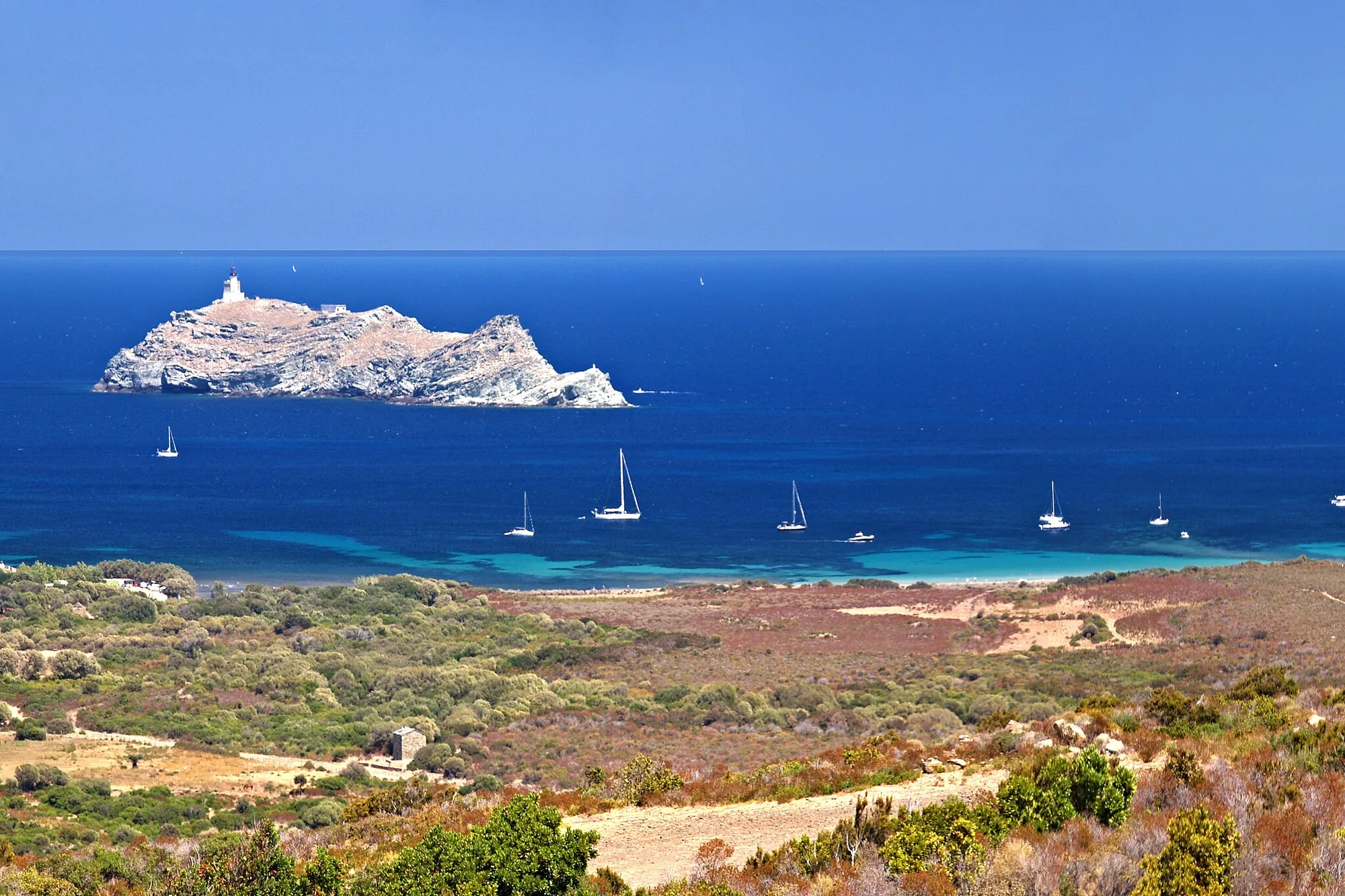
At the tip of Cap Corse, nearly a kilometre of sand facing the island of Giraglia, at the end of a narrow road or at the end of the customs officers’ path.
7 km east of L’Île-Rousse, about 1.5 km of gently shelving sand at the mouth of the Regino, popular with families.
A fine sandy cove near L’Île-Rousse, five minutes’ walk from a Balagne train stop, with its neighbour Ghjunchitu.
A strip of fine sand below the marina of Lumio, between Calvi and L’Île-Rousse: often calm water, lifeguards in summer and access by train.
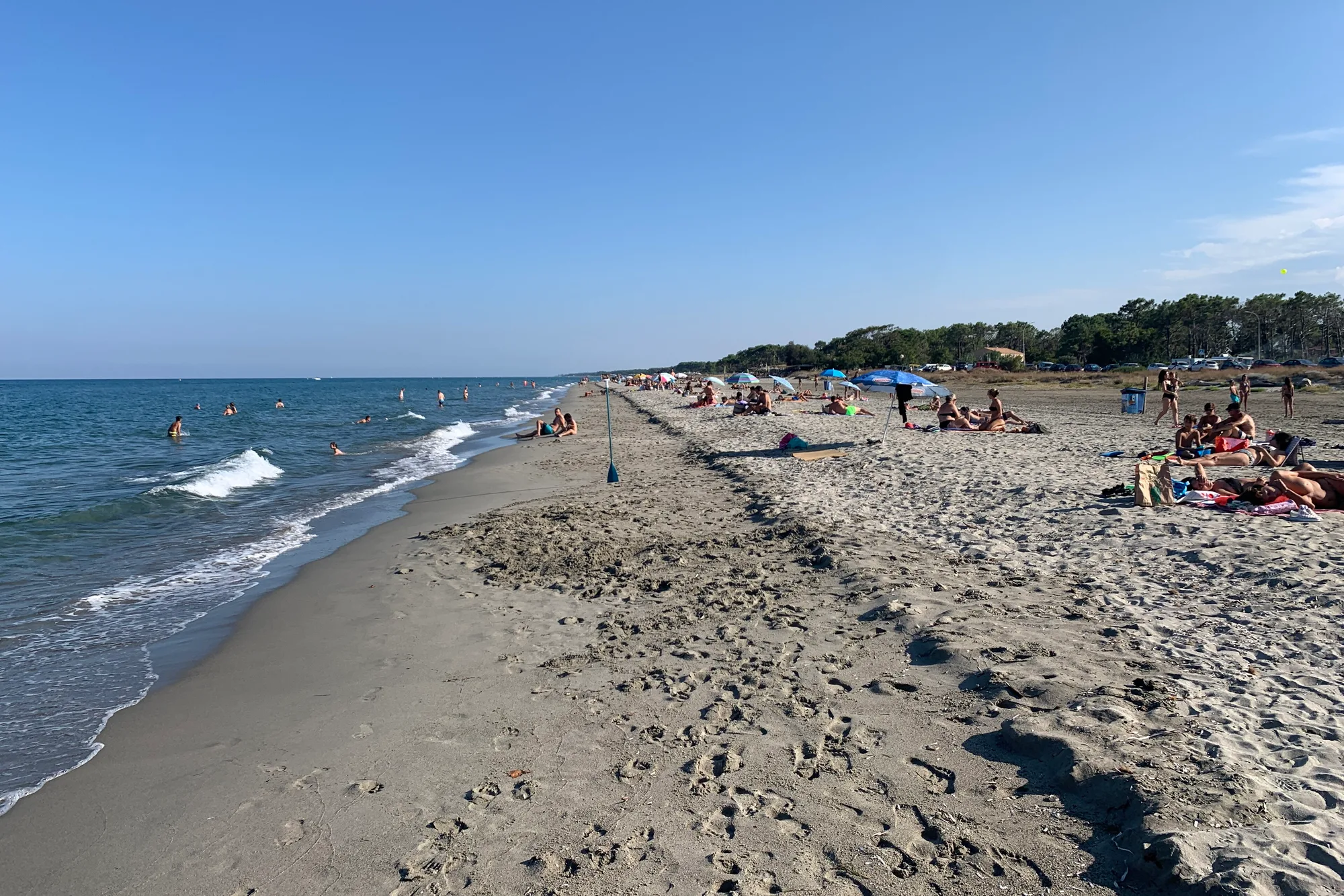
South of Bastia, nearly 15 km of sand between the Biguglia lagoon and the sea, backed by pine woods: the Bastia locals’ beach, a quarter of an hour from the centre.
Walking, river swimming, boat trips, wine tasting or sheltering from the rain: our pages for each.
From the Melu and Capitellu lakes, at the head of the Restonica, to the customs officers’ path on Cap Corse and the coastal path of the Agriates. The GR20 starts from Calenzana, in the Balagne. Set off early: in summer, storms often build in the mountains in the afternoon.
The Tavignano gorges and the Restonica pools at Corte, the Vecchio bridge, the Cascade des Anglais at Vizzavona, and the Ponte Vecchiu on the Fango, near Galéria. Cold water, slippery rocks, and never during a storm.
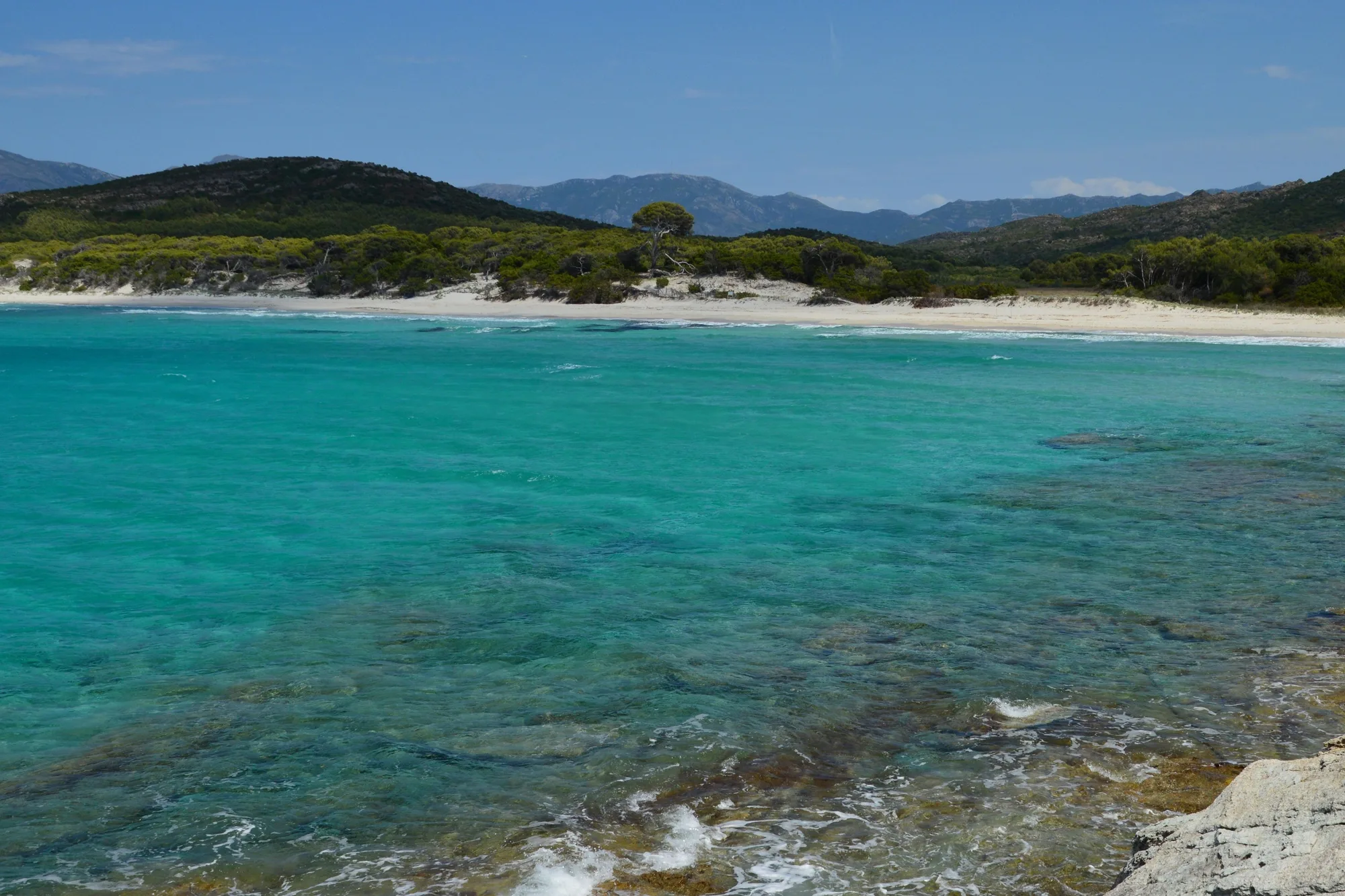
From Saint-Florent, shuttle boats go to Lotu and Saleccia. From Calvi, boats follow the coast to Scandola and Girolata, which are already in Corse-du-Sud.
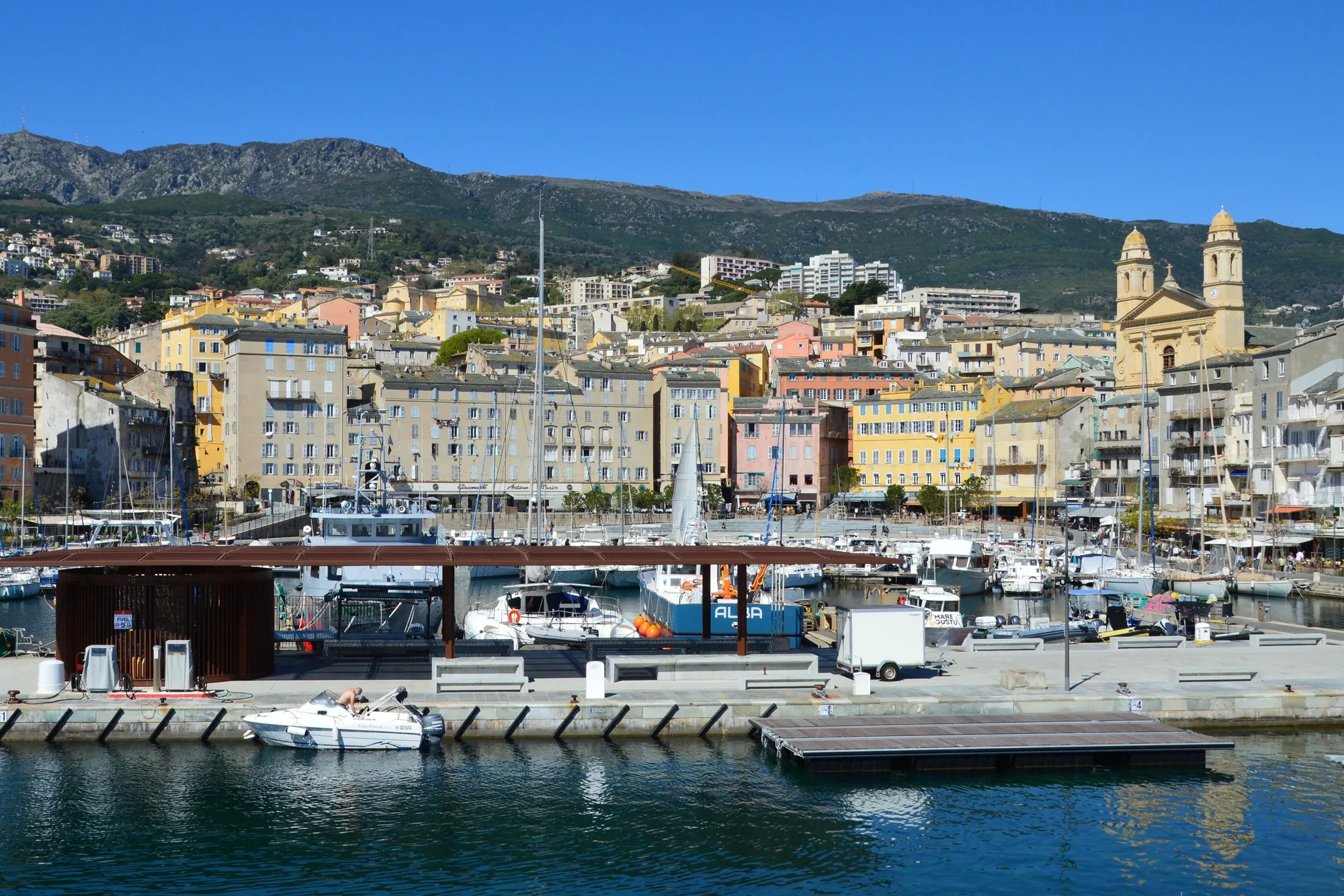
Four towns still have their citadel: Bastia with its Governors’ Palace, Calvi with its ramparts, Corte on its rocky spur, Saint-Florent above the harbour. See Calvi, Corte and Saint-Florent.
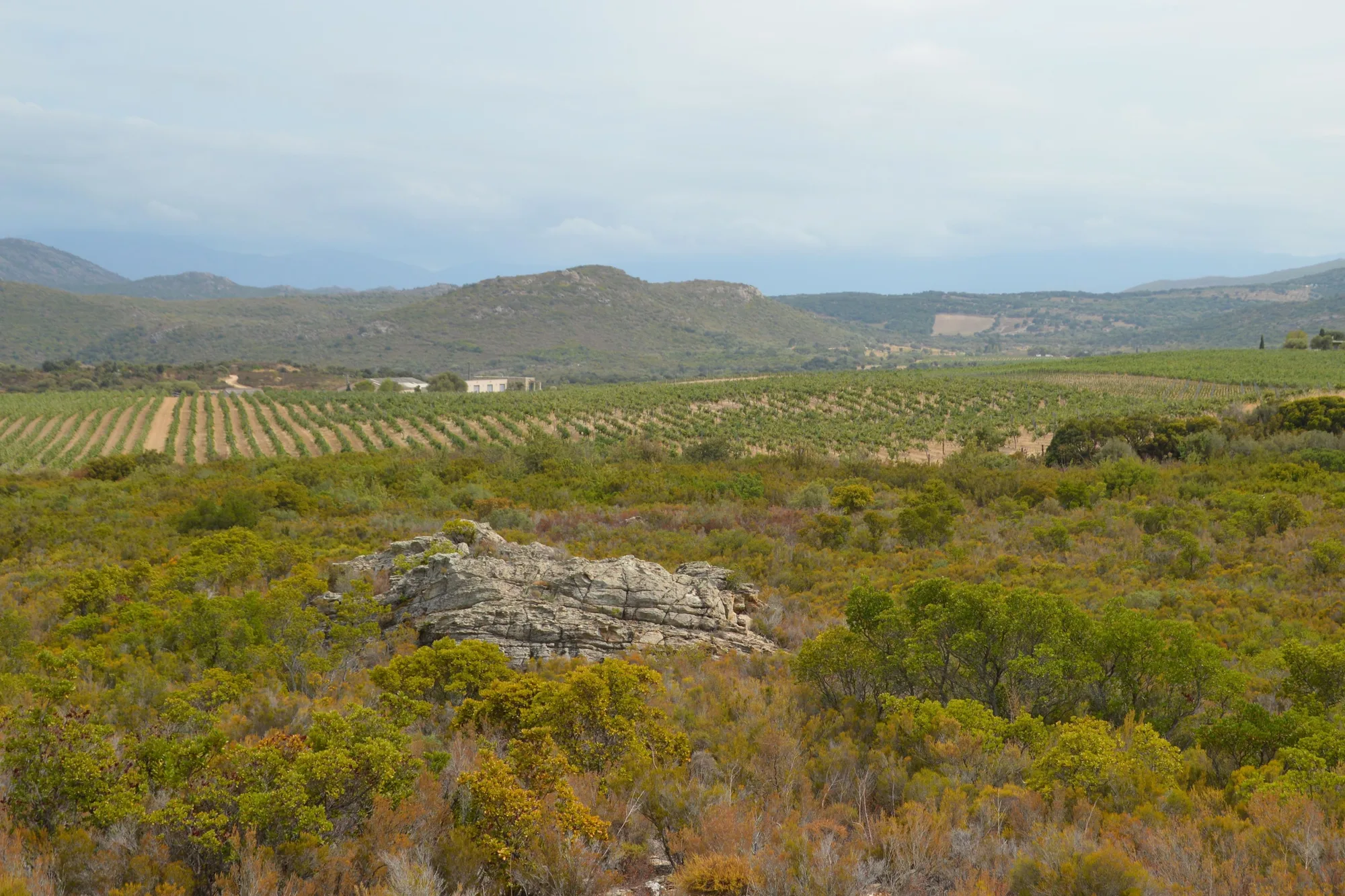
The Patrimonio estates, in the Nebbiu, welcome visitors for tastings; Cap Corse muscat is a sweet wine made from the tip of the Cape down to the Nebbiu. Around Calvi, the Balagne has its own appellation, Corse Calvi.
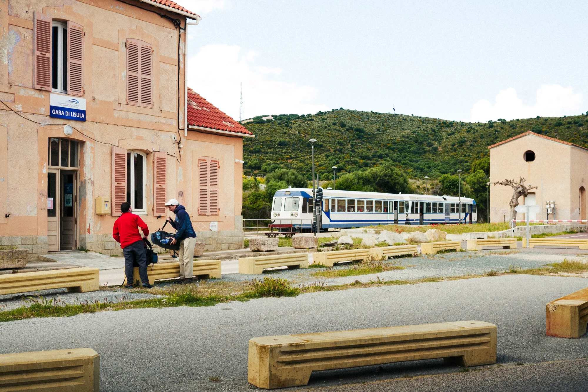
The Bastia - Ajaccio line runs via Corte and Vizzavona; another line reaches Calvi via L’Île-Rousse. The Balagne train stops right by the beaches between these two towns.
The Bastia museum, in the Governors’ Palace, the Musée de la Corse, in the citadel of Corte, the archaeological museum at Aléria and the museum at Cervione, devoted to the Castagniccia. On a stormy day, keep away from rivers.
Two airports serve the north: Bastia Poretta, 20 km south of Bastia, for Cap Corse, Saint-Florent and the east coast, and Calvi Sainte-Catherine, 7 km from Calvi, for the Balagne. See flying to Corsica.
Ferries from the mainland arrive at Bastia and L’Île-Rousse. Calvi had no scheduled service from the mainland in October 2026: land at L’Île-Rousse instead. See the ferry crossing.
A car is still the most practical way to get from one region to another (driving times above). The train links Bastia, Corte, L’Île-Rousse and Calvi, with a change at Ponte-Leccia for the Balagne; timetables change every season, so check with the Chemins de fer de la Corse. See getting around Corsica.
May, June and September, for the sea and the mountains without the crowds. The Restonica shuttle bus runs from May to September. In spring the mountain streams are at their finest, but swimming in them is not advised. See when to go to Corsica.
Each town has its own “Where to stay” section: Bastia, Cap Corse, Saint-Florent, L’Île-Rousse, Algajola, Calvi and Corte.
Drive round Cap Corse, spend a day on an Agriates beach, climb up to the citadels of Bastia, Calvi and Corte, walk to the Restonica lakes and swim in the river pools inland. Allow one to two weeks to see the main sights.
With a car, Saint-Florent is in the middle of everything: half an hour from Bastia, where the Agriates boats leave, and three quarters of an hour from L’Île-Rousse, outside summer and without stops. Without a car, choose L’Île-Rousse or Calvi, with the station and the beaches. Add two or three nights in Corte for the mountains.
Visit the Bastia museum, in the Governors’ Palace, or the Musée de la Corse, in the citadel of Corte. On the east coast, the archaeological museum at Aléria displays finds from the ancient city. You can also take the mountain train between Bastia and Corte. On a stormy day, stay away from rivers: they rise fast.
For the sea, Cap Corse, the Agriates and the Balagne, around Calvi and L’Île-Rousse. For the mountains, Corte, the Restonica, the Scala di Santa Regina and the Niolu, or the Vizzavona forest. For culture, Bastia and Corte, Pascal Paoli’s former capital.
The north combines mountains, hill villages and citadels; the south has the big white-sand beaches of Porto-Vecchio and Bonifacio, and the far south is one of the hottest parts of the island in summer. You can combine the two in two weeks. See our comparison north or south Corsica and our page on South Corsica.